- DJI Mavic
- DJI Air
- DJI Mini
- DJI Flip
- DJI Neo
- Avata | FPV
- Handhelds
-
Ronin
Ronin 2 View All
- Cinema
- DJI Power
-
Enterprise
Enterprise Sale View AllEnterprise Latest Arrivals View AllEnterprise Packages View AllDJI Matrice 4D Series View AllDJI Matrice 400 View AllDJI Mavic 3 Enterprise Series View AllMatrice 350 RTK View AllMavic 2 Enterprise Series View AllMatrice 30 Series View AllMatrice 300 Series View AllPhantom 4 Enterprise Series View AllDJI Care Enterprise View All
- AGRAS
- DJI Dock
- Hasselblad
-
Accessories
Accessories View AllGeneral Accessories View AllDJI Mini 5 Pro Accessories View AllDJI Neo Accessories View AllOsmo Pocket 3 Accessories View AllOsmo Mobile 7P Accessories View AllOsmo Mobile 7 Accessories View AllDJI RS 4 Mini Accessories View AllDJI Mini 4 Pro Accessories View AllDJI Air 3S Accessories View AllDJI RS 4 Accessories View AllOsmo Action 5 Pro Accessories View AllDJI Mavic 4 Pro Accessories View AllDJI RS 4 Pro Accessories View AllOsmo Action 4 Accessories View AllDJI Mic 3 Accessories View AllOsmo Action 3 Accessories View AllDJI RS 4 Mini Accessories View AllDJI Mic Mini Accessories View AllOsmo Nano Accessories View AllOsmo 360 Accessories View AllD1 Labs View AllUGREEN View AllD1 Labs Landing Pads View AllCamera Bags View AllDJI RC-N Series Accessories View AllDJI RC Accessories View AllPayload Release Systems View AllDJI RC Pro Accessories View AllDrone Safety Accessories View AllPhoto View AllFreewell View AllFreewell Sherpa Series View AllFreewell Galaxy Series View AllPGYTECH View AllDJI RC 2 Accessories View All
- Care Refresh
- Sale
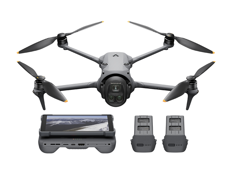 DJI Mavic 4 Pro Creator Combo (512GB)
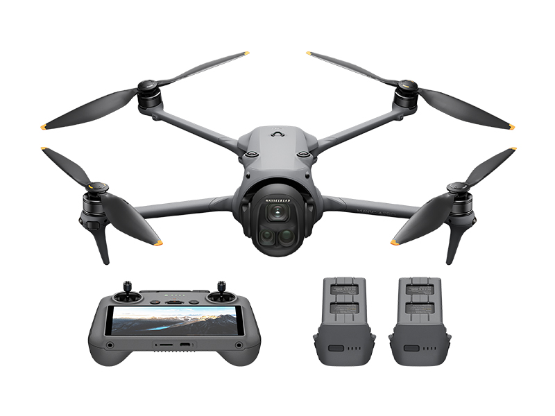 DJI Mavic 4 Pro Fly More Combo
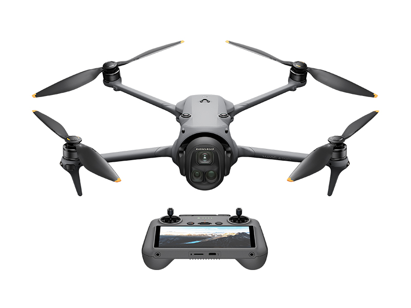 DJI Mavic 4 Pro
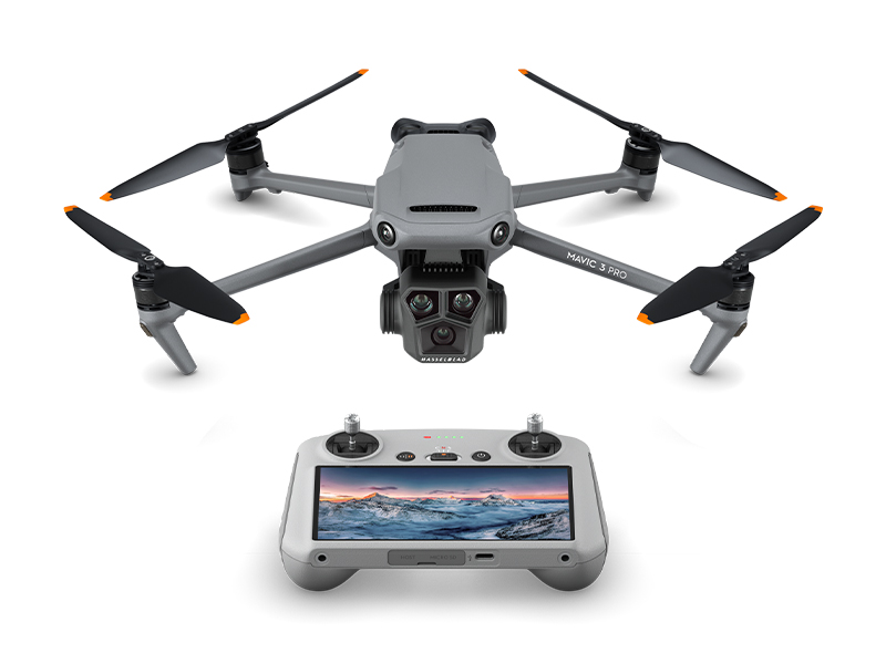 DJI Mavic 3 Pro w. DJI RC
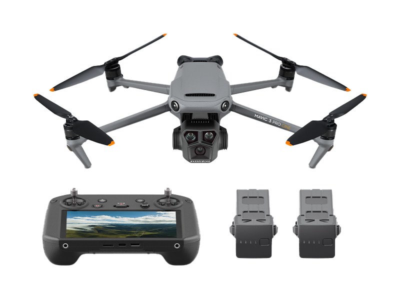 DJI Mavic 3 Pro Cine Premium Combo
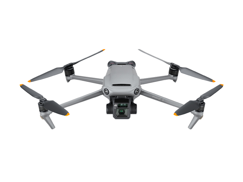 DJI Mavic 3 (Drone Only)
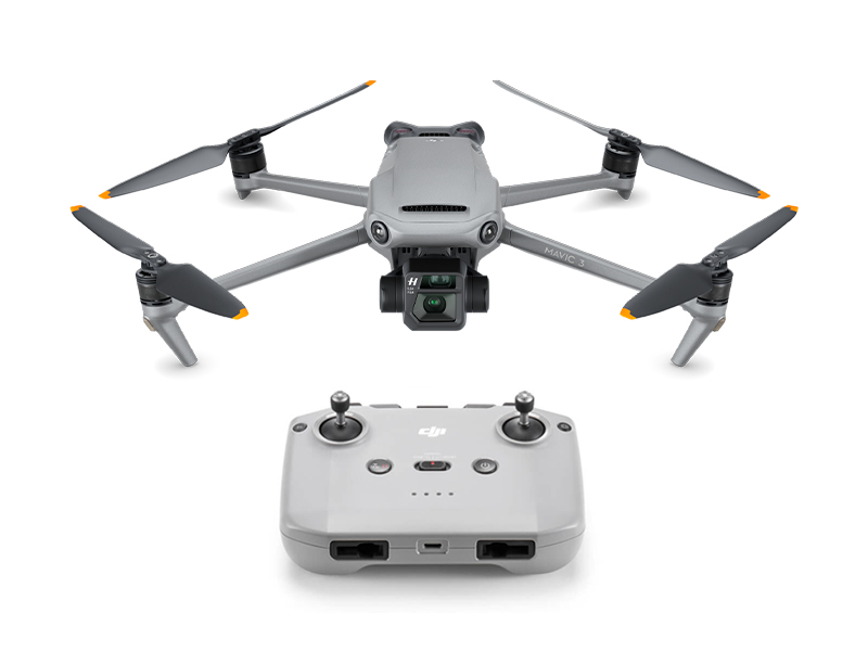 DJI Mavic 3
 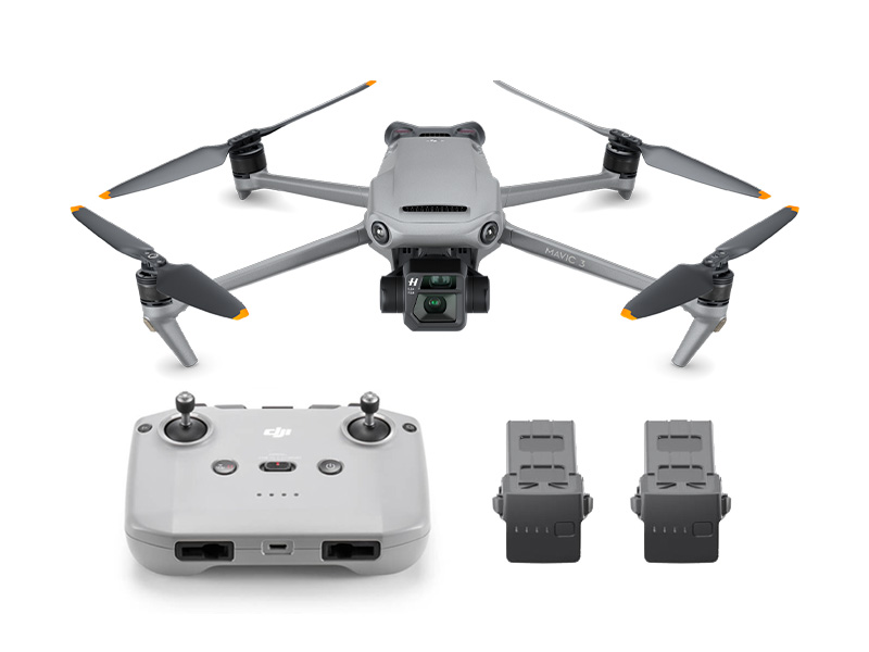 DJI Mavic 3 Fly More Combo
 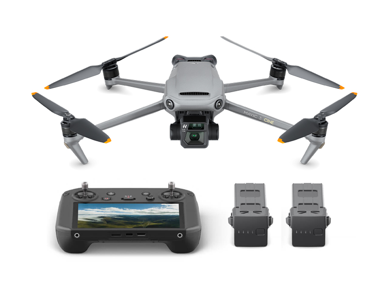 DJI Mavic 3 Cine Premium Combo (Open Box)
.jpg) Mavic 2 Zoom (Drone Only)
Mavic 2 Zoom (Drone Only)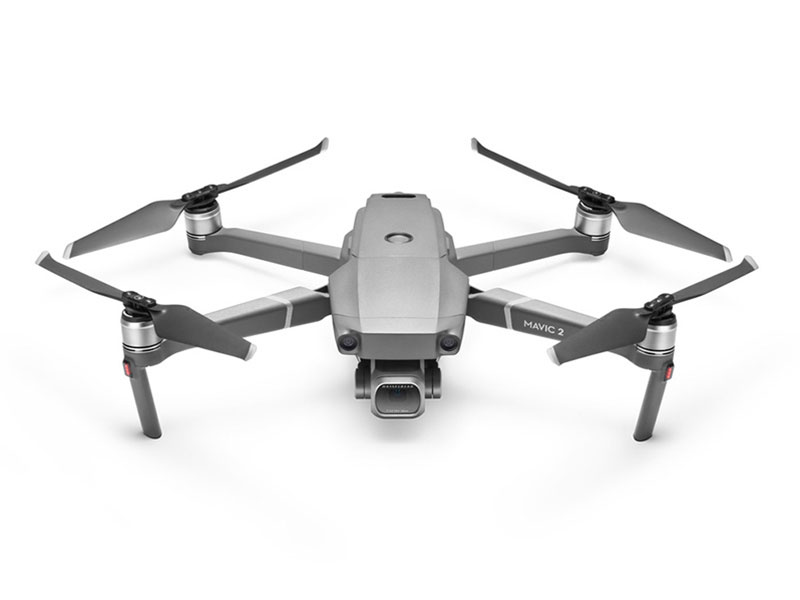 Mavic 2 Pro
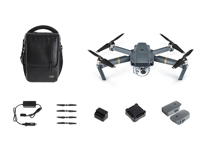 Mavic Pro Fly More Combo
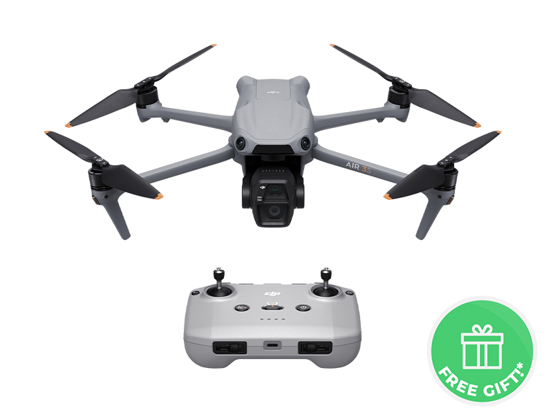 DJI Air 3S
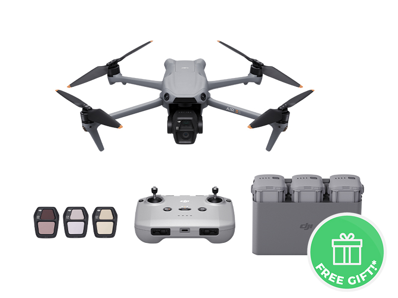 DJI Air 3S Fly More Combo w. DJI RC-N3
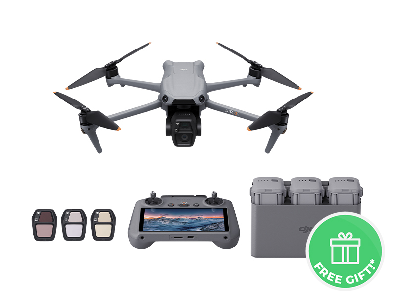 DJI Air 3S Fly More Combo w. DJI RC 2
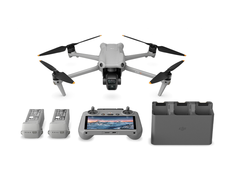 DJI Air 3 Fly More Combo w. DJI RC 2
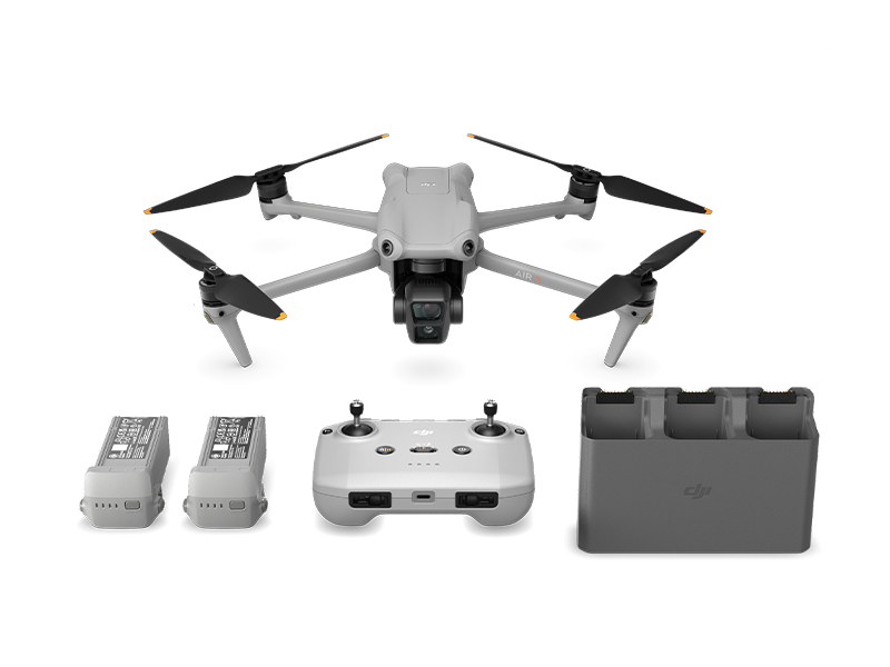 DJI Air 3 Fly More Combo
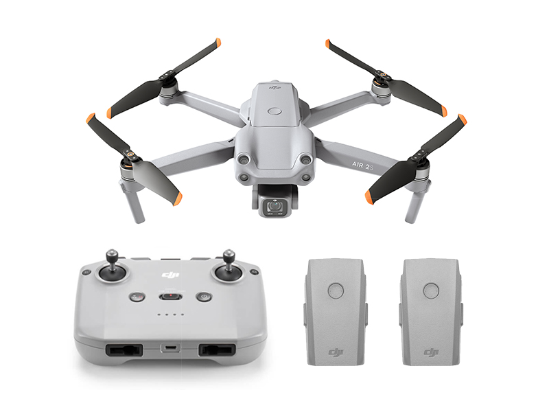 DJI Air 2S Fly More Combo
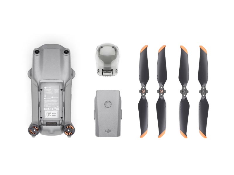 DJI Air 2S (Drone Only)
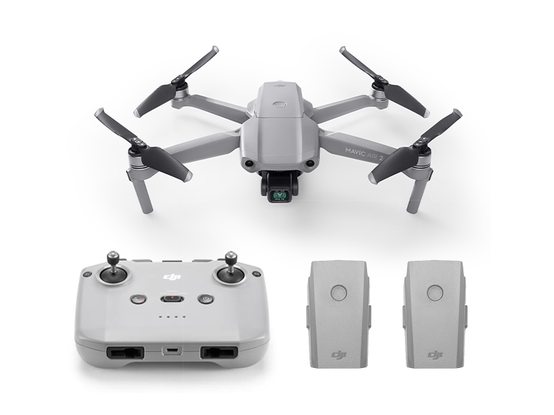 Mavic Air 2 Fly More Combo
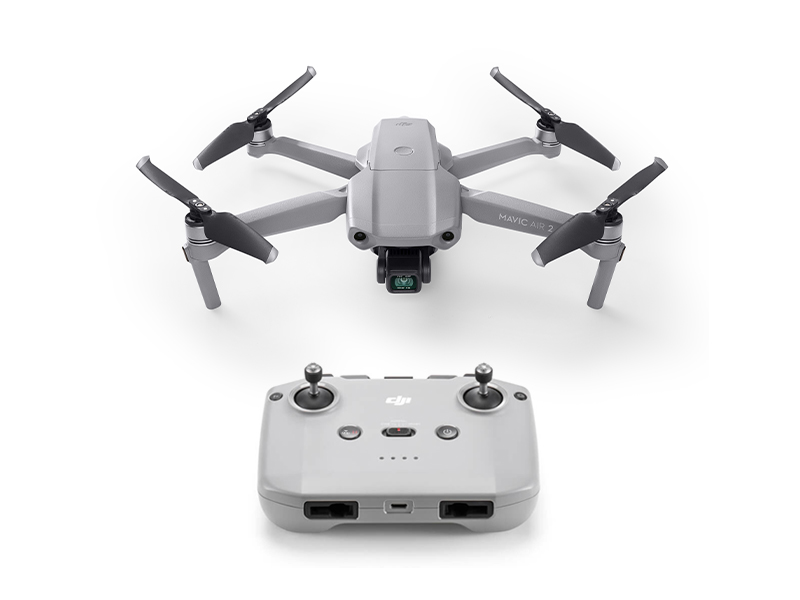 Mavic Air 2
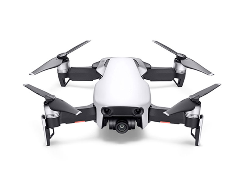 Mavic Air
 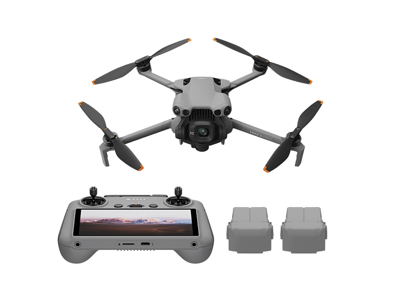 DJI Mini 5 Pro Fly More Combo
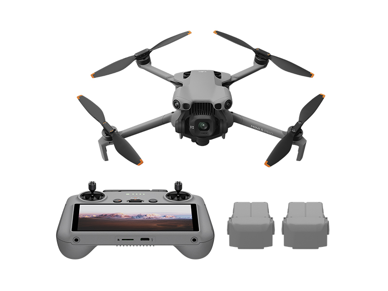 DJI Mini 5 Pro Fly More Combo Plus
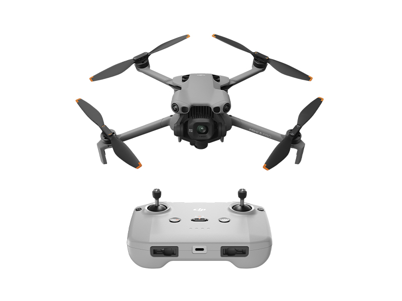 DJI Mini 5 Pro
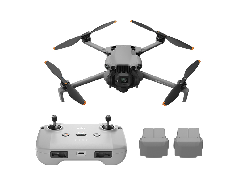 DJI Mini 5 Pro Fly More Combo w. DJI RC-N3
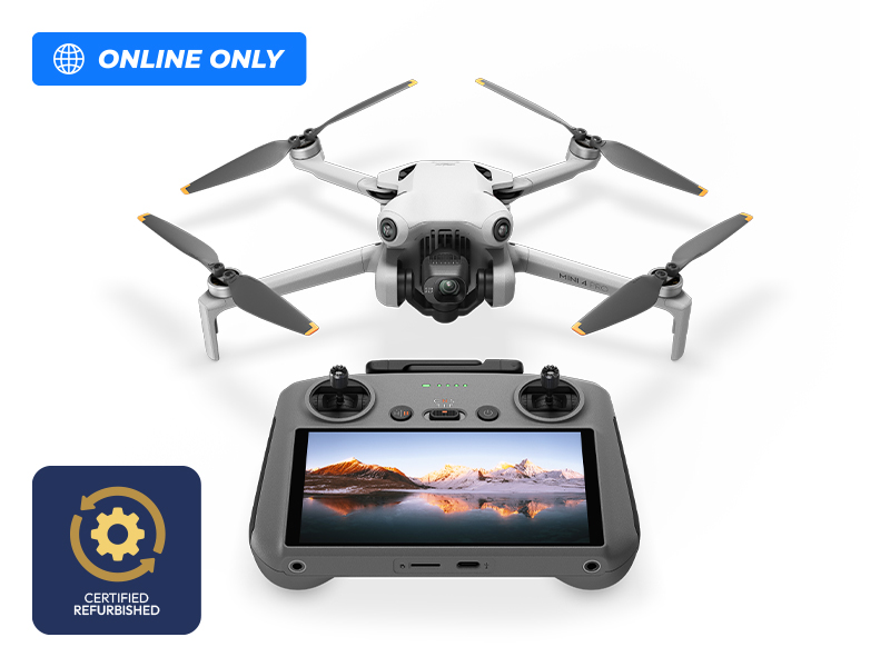 DJI Mini 4 Pro w. DJI RC 2 (Refurbished)
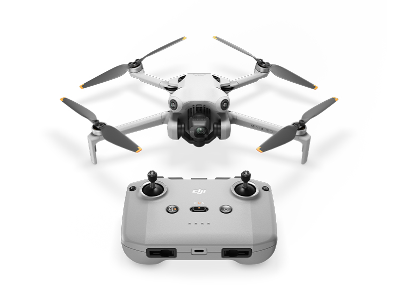 DJI Mini 4 Pro
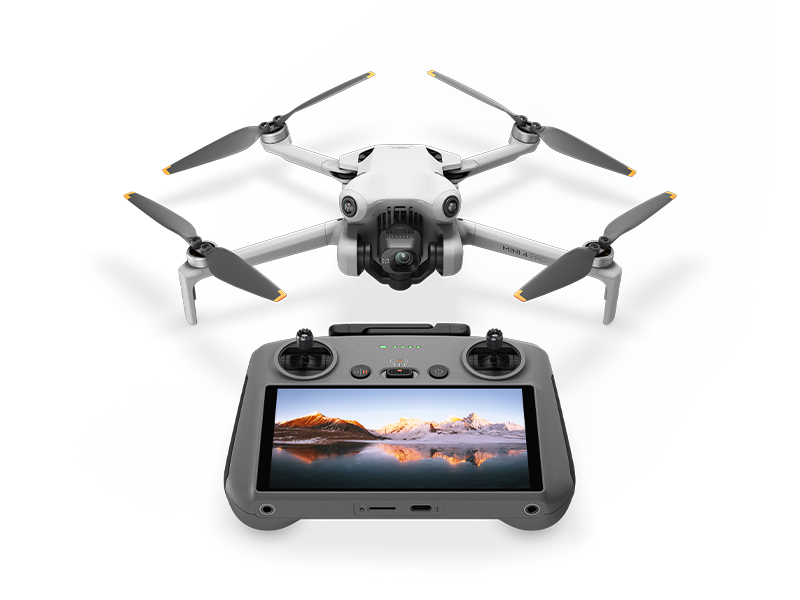 DJI Mini 4 Pro w. DJI RC 2
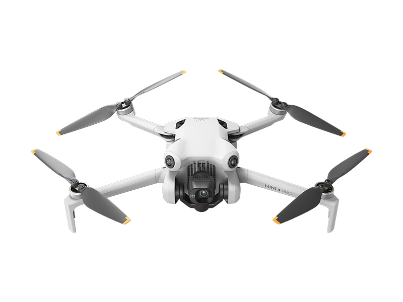 DJI Mini 4 Pro (Drone Only, No Battery)
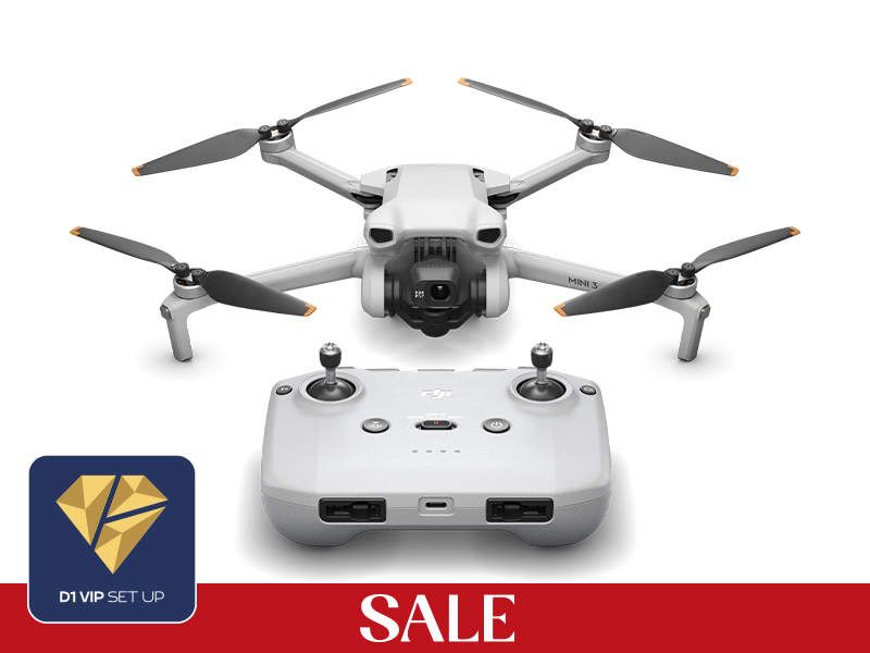 DJI Mini 3
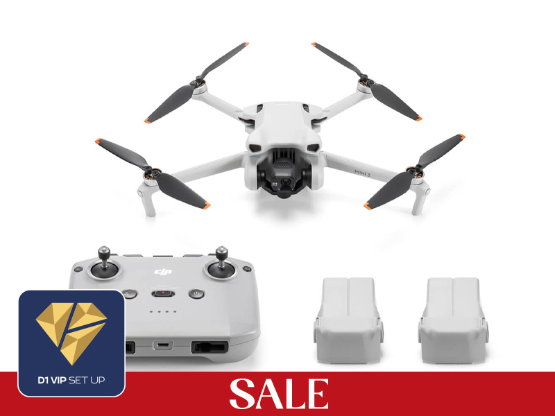 DJI Mini 3 Fly More Combo Plus
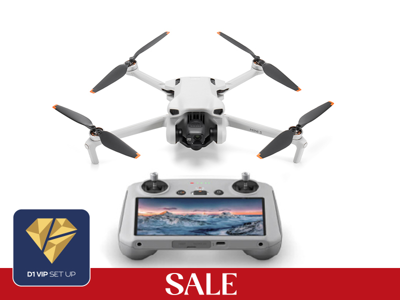 DJI Mini 3 w. DJI RC
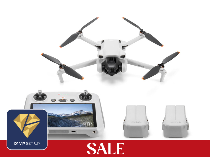 DJI Mini 3 Fly More Combo w. DJI RC
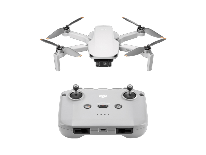 DJI Mini 4K
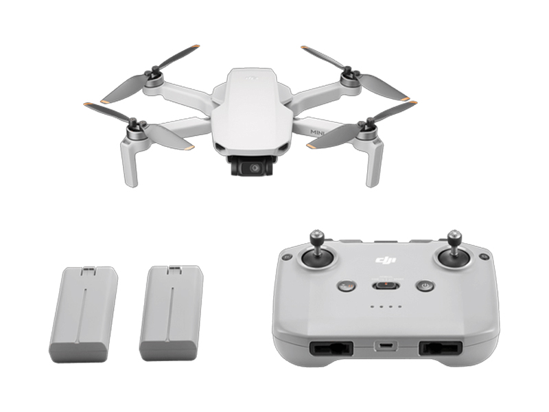 DJI Mini 4K Fly More Combo
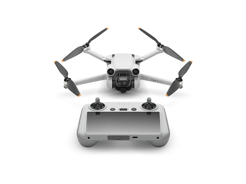 DJI Mini 3 Pro w. DJI RC
 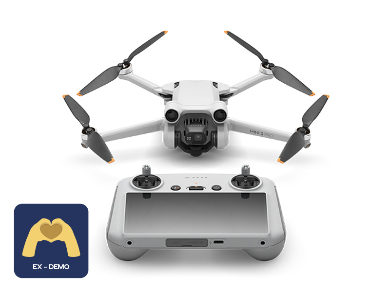 Ex-Demo DJI Mini 3 Pro w. DJI RC
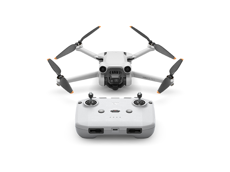 DJI Mini 3 Pro
 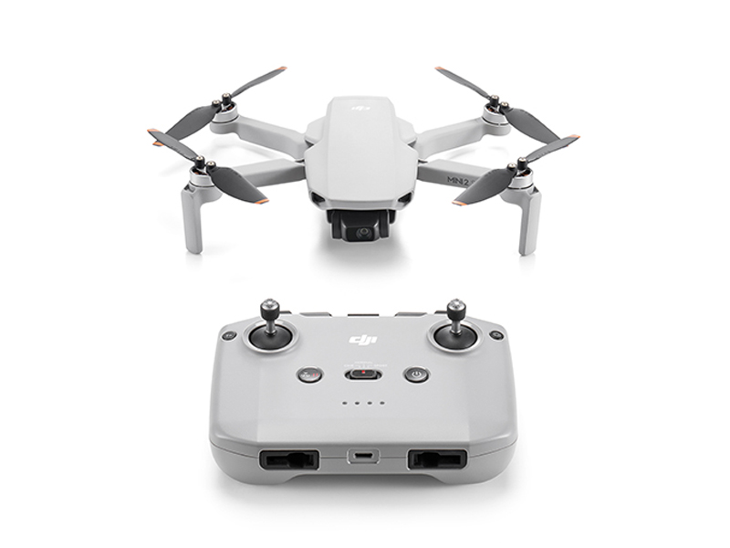 DJI Mini 2 SE
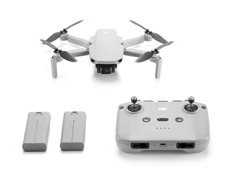 DJI Mini 2 SE Fly More Combo
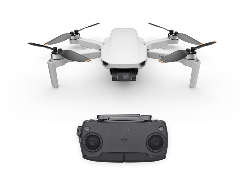 DJI Mini SE
 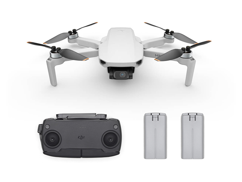 DJI Mini SE Combo
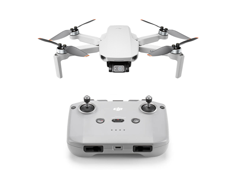 DJI Mini 2
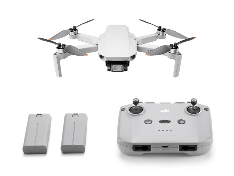 DJI Mini 2 Fly More Combo
 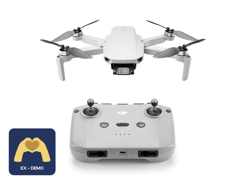 Ex-Demo DJI Mini 2
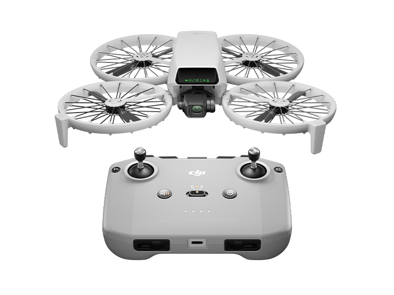 DJI Flip
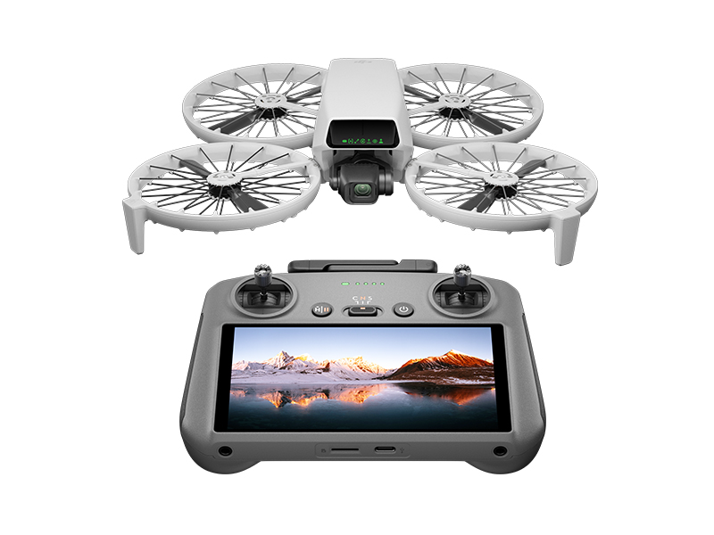 DJI Flip w. DJI RC 2
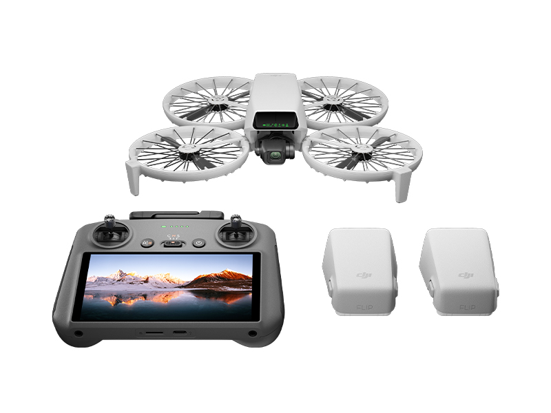 DJI Flip Fly More Combo
 DJI Care Refresh 1-Year Plan (DJI Flip)
 DJI Care Refresh 2-Year Plan (DJI Flip)
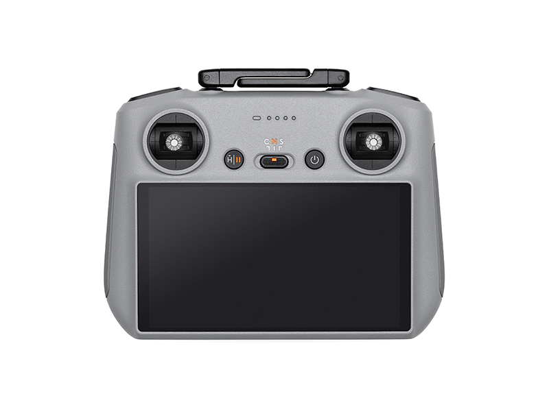 DJI RC 2
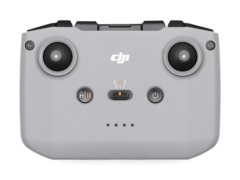 DJI RC-N3 Remote Controller
 DJI RC/RC 2 Control Sticks
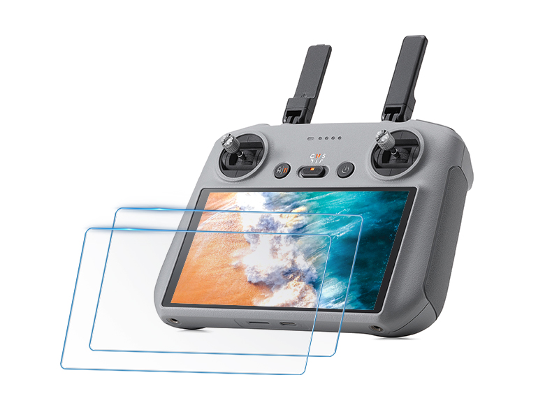 D1 Labs Screen Protector for DJI RC Series
 D1 Lens Cloth
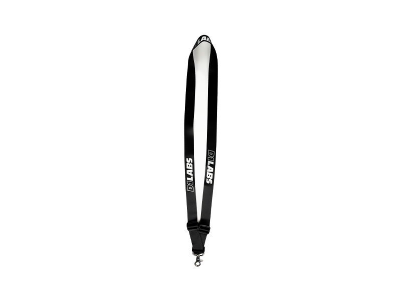 D1 Labs Heavy Duty Lanyard
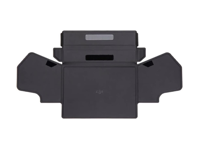 DJI RC-N Series Remote Controller Monitor Hood
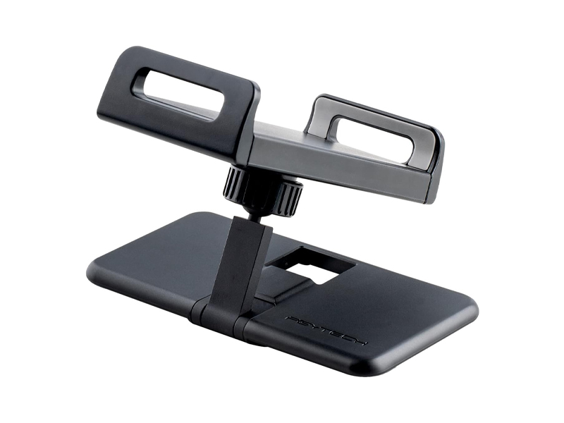 PGYTECH Tablet Holder V2 for DJI RC-N Series
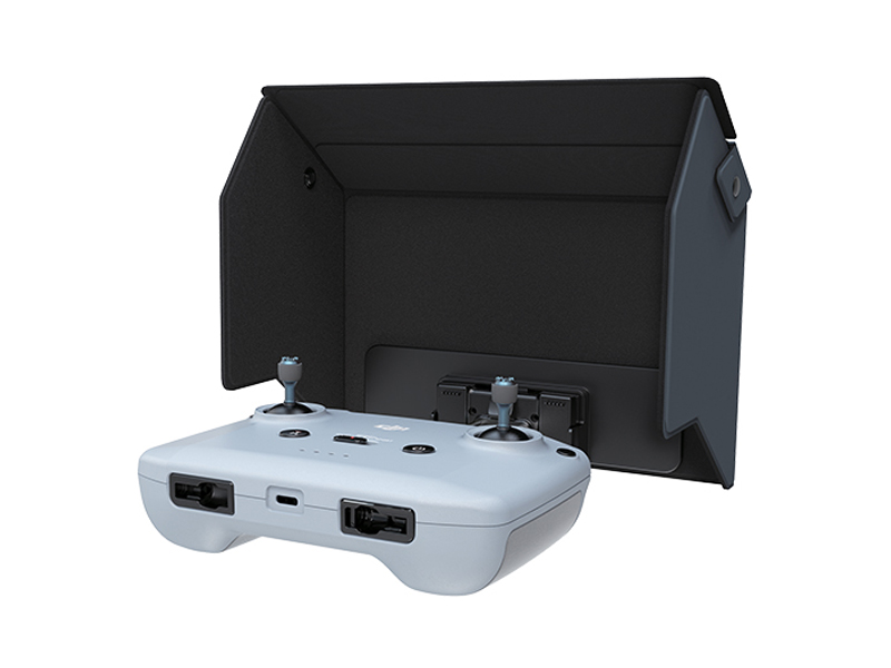 D1 Labs Monitor Hood for DJI RC-N Series
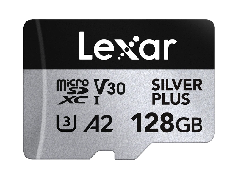 Lexar Professional 128GB Silver Plus MicroSD Card
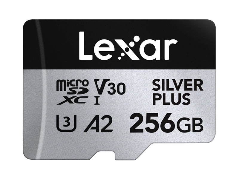 Lexar Professional 256GB Silver Plus MicroSD Card
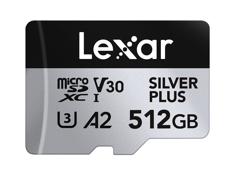 Lexar Professional 512GB Silver Plus MicroSD Card
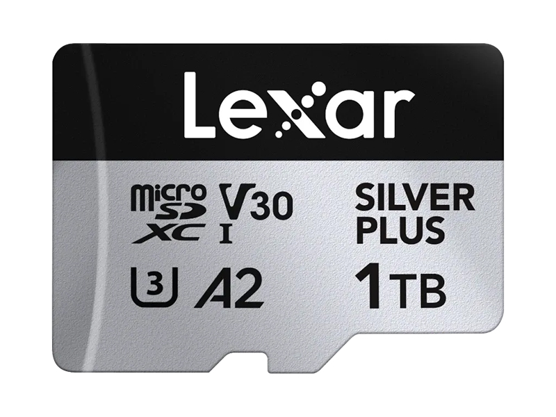 Lexar Professional Silver Plus 1TB MicroSD Card
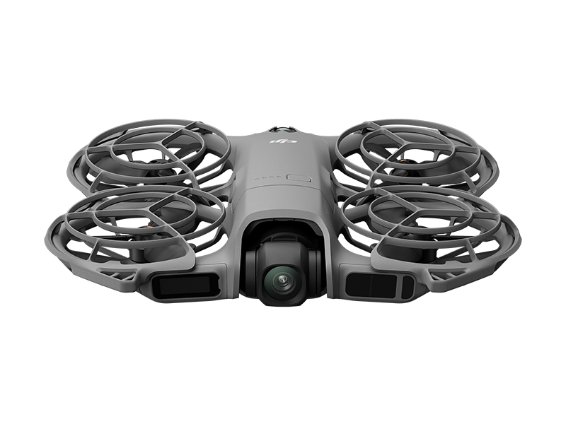 DJI Neo 2
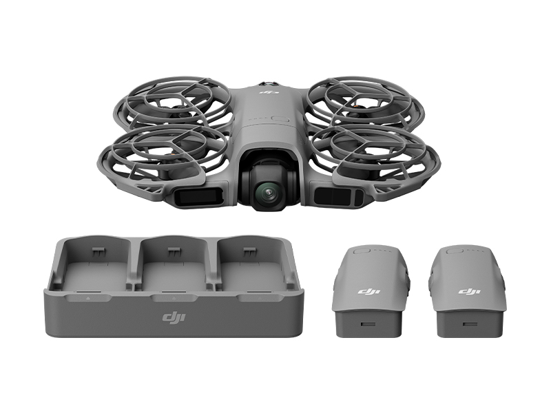 DJI Neo 2 Fly More Combo (Drone Only)
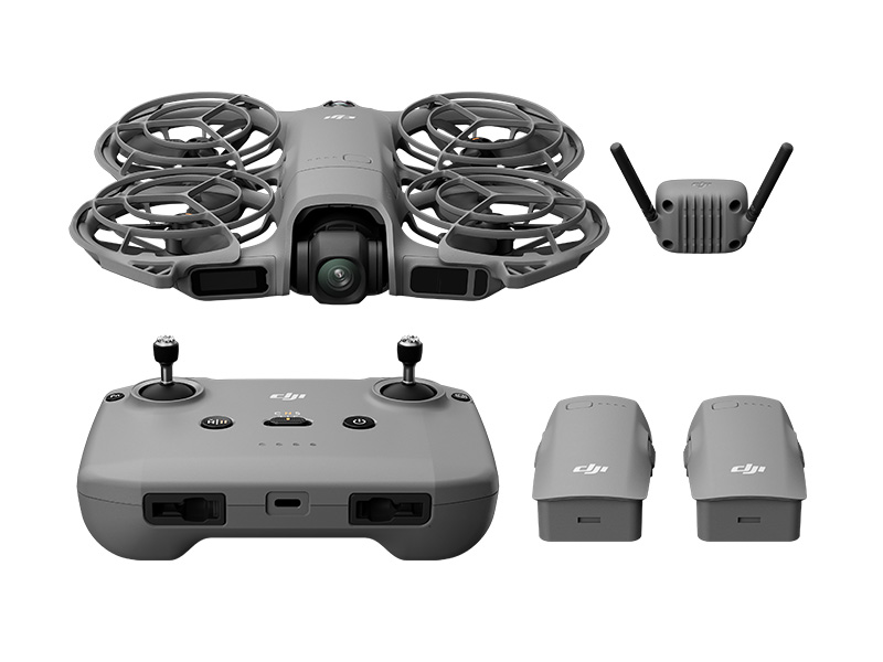 DJI Neo 2 Fly More Combo
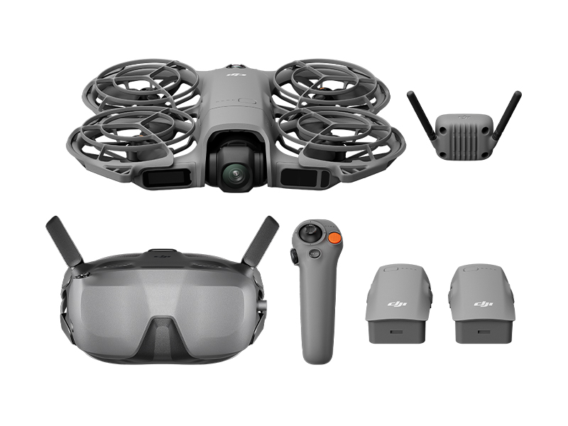 DJI Neo 2 Motion Fly More Combo
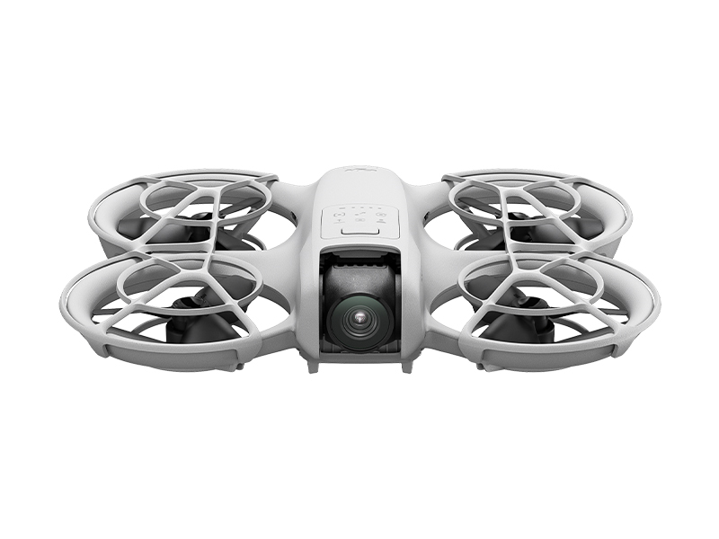 DJI Neo
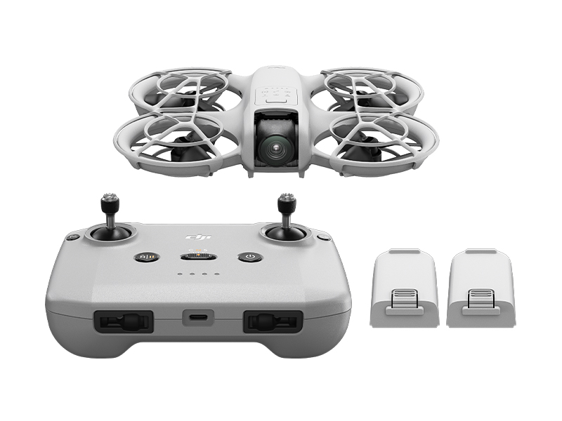 DJI Neo Fly More Combo
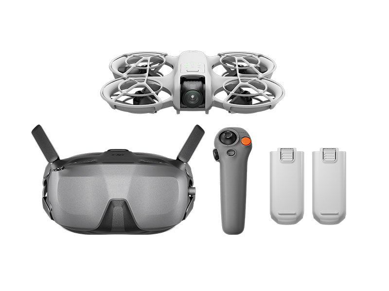 DJI Neo Motion Fly More Combo
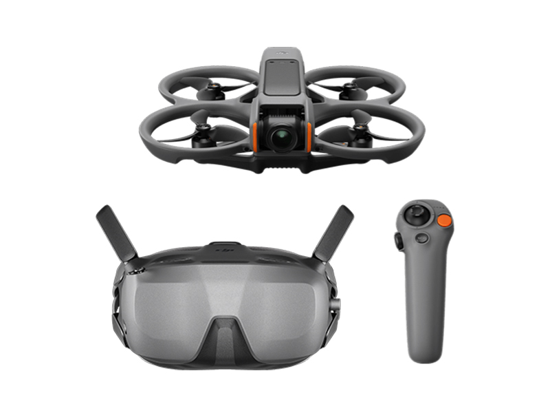 DJI Avata 2 Fly Smart Combo
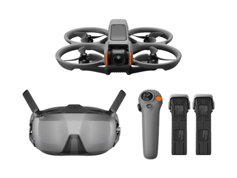 DJI Avata 2 Fly Smart Combo (Three Batteries)
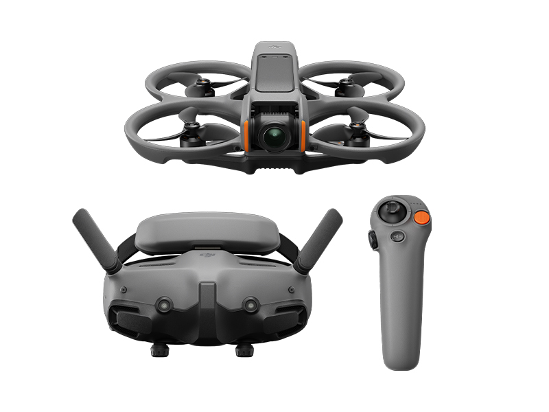 DJI Avata 2 Fly More Combo
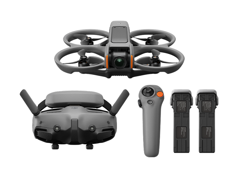 DJI Avata 2 Fly More Combo (Three Batteries)
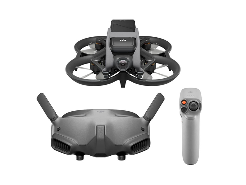 DJI Avata Pro-View Combo w. DJI RC Motion 2
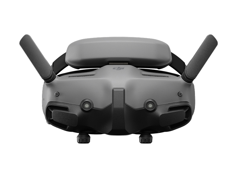 DJI Goggles 3
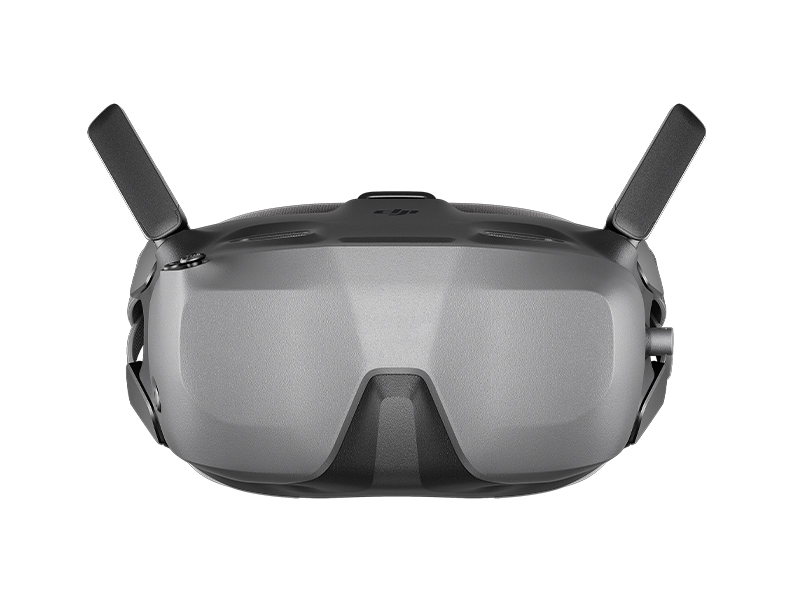 DJI Goggles N3
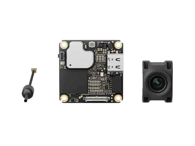 DJI O4 Air Unit
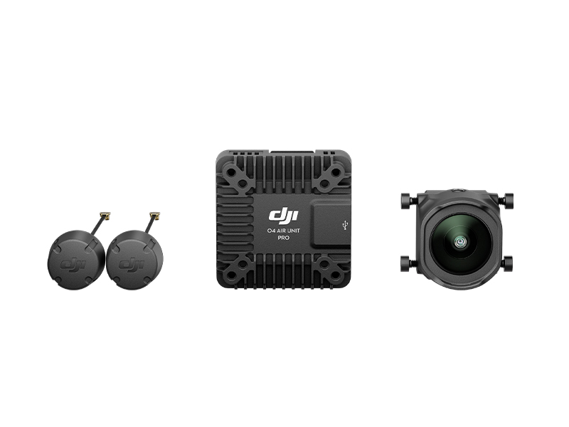 DJI O4 Air Unit Pro
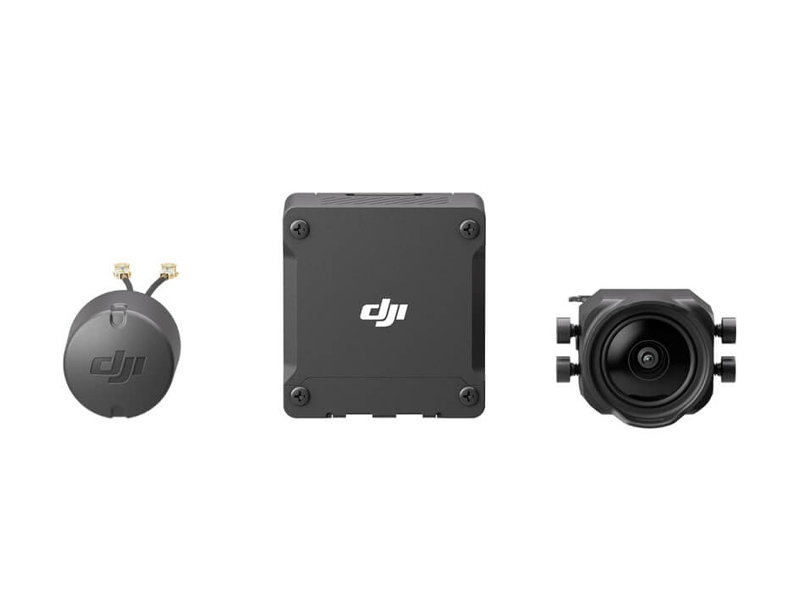 DJI O3 Air Unit
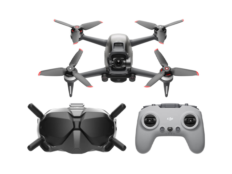 DJI FPV Combo
 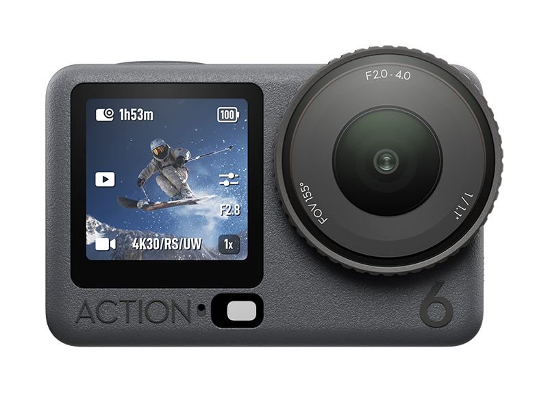 Osmo Action 6 Standard Combo
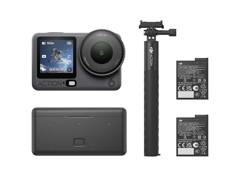 Osmo Action 6 Adventure Combo
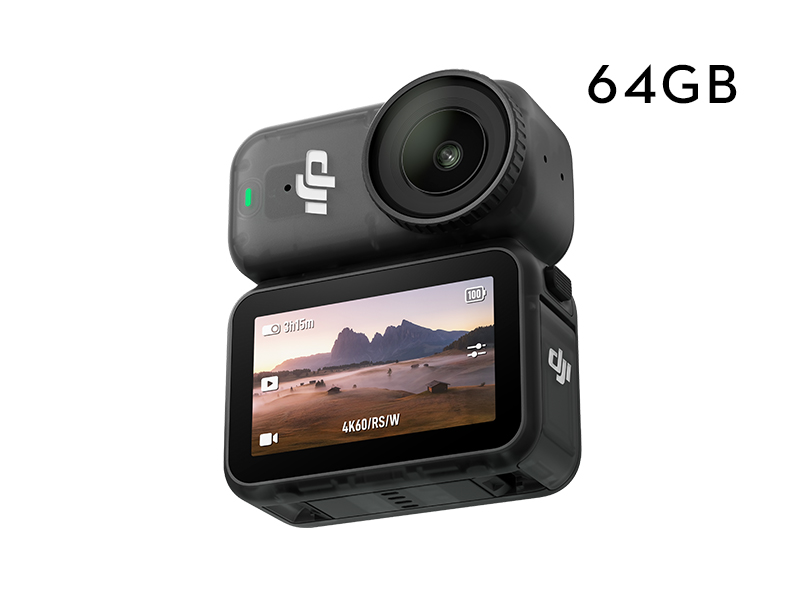 Osmo Nano Standard Combo (64GB)
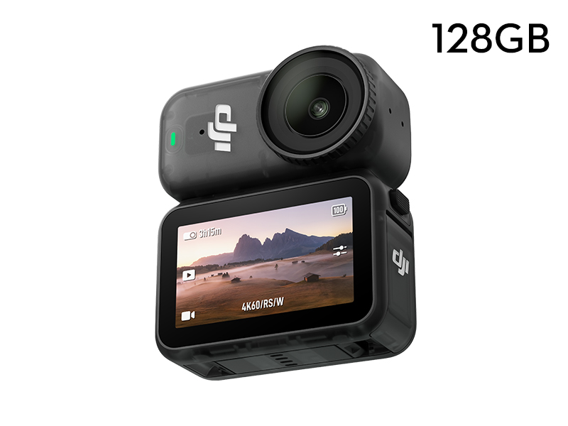 Osmo Nano Standard Combo (128GB)
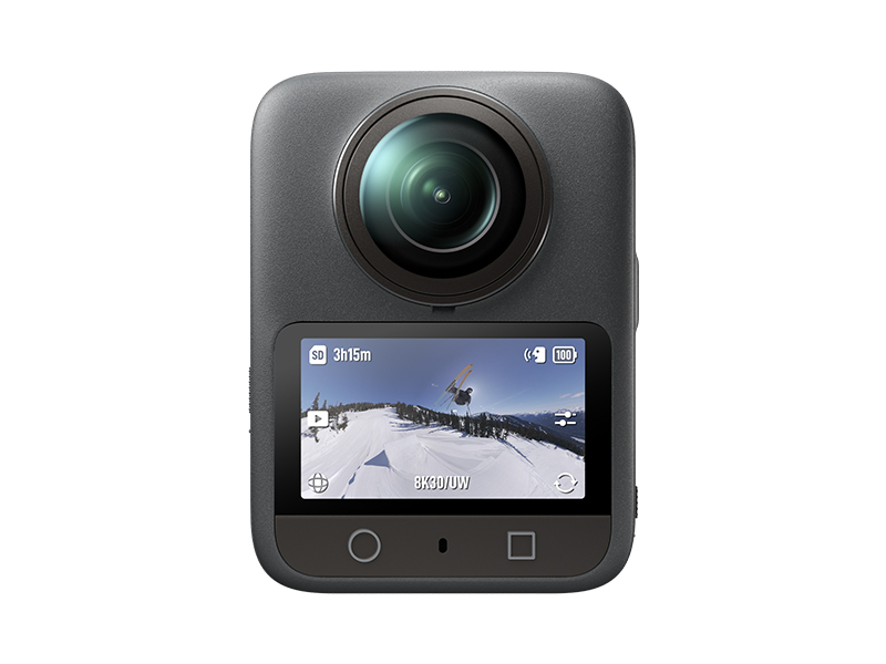 Osmo 360 Standard Combo
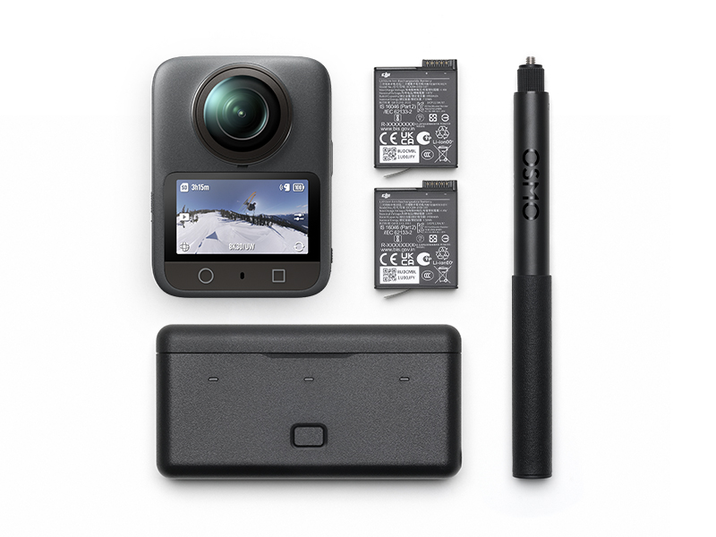 Osmo 360 Adventure Combo
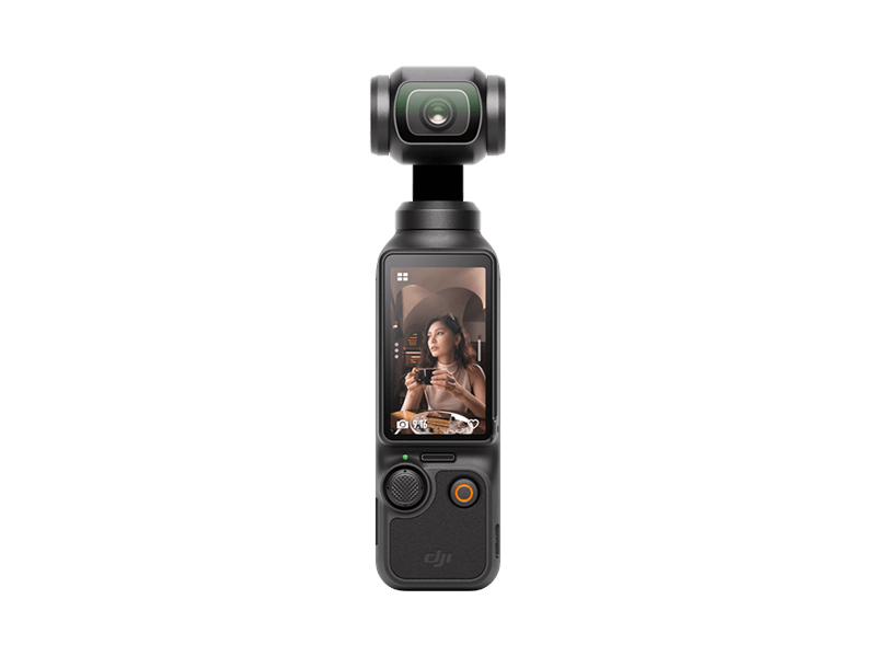 Osmo Pocket 3 Standard Combo
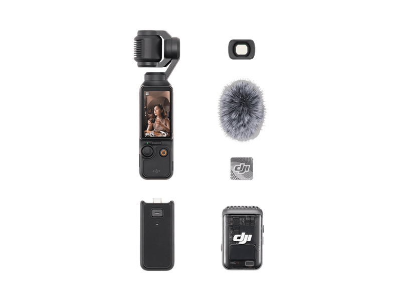 Osmo Pocket 3 Creator Combo
 Osmo Pocket 3 (Refurbished)
 Osmo Pocket 3 Creator Combo (Refurbished)
 DJI Mic 3 Dual Microphone Combo
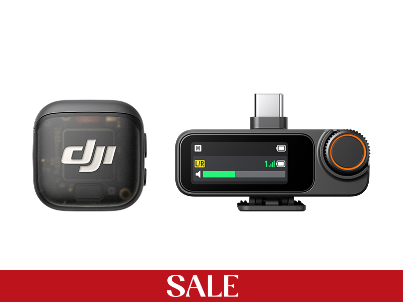 DJI Mic 3 Single Microphone Kit
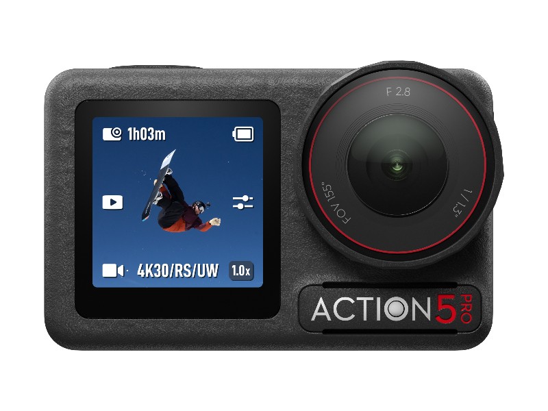 Osmo Action 5 Pro Standard Combo
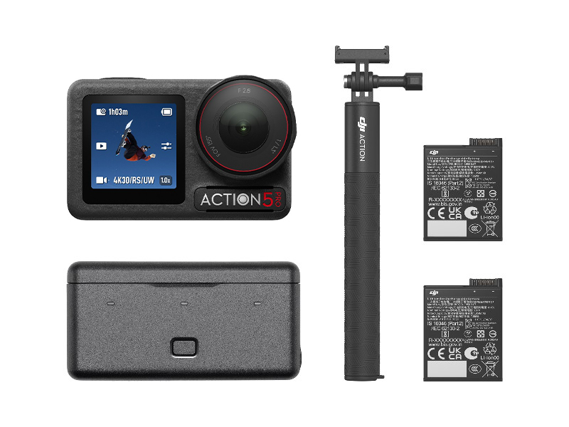 Osmo Action 5 Pro Adventure Combo
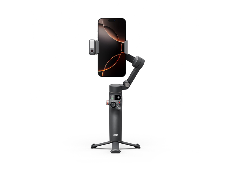 Osmo Mobile 8
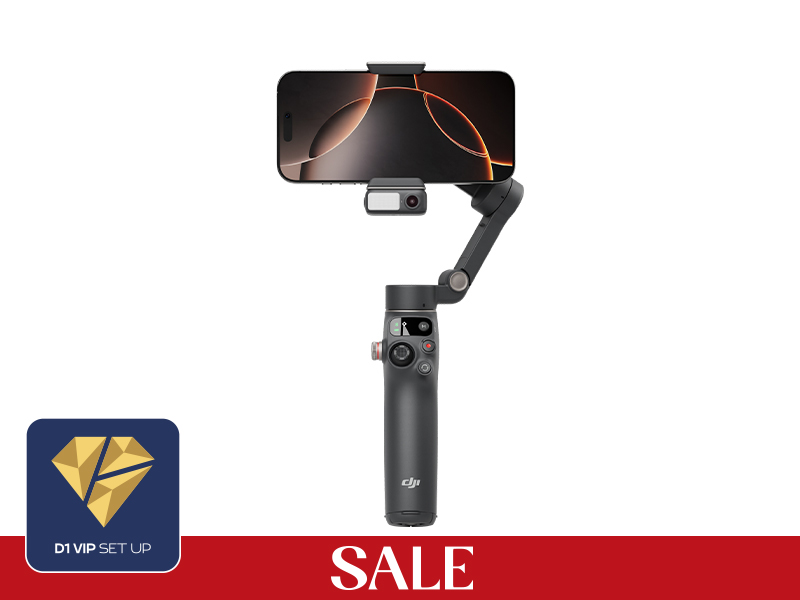 Osmo Mobile 7P
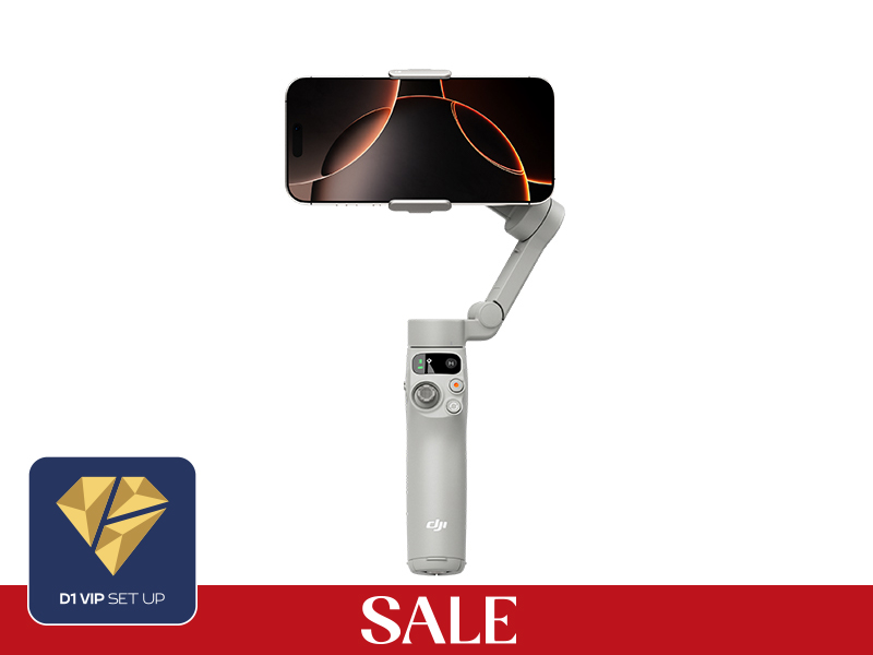 Osmo Mobile 7
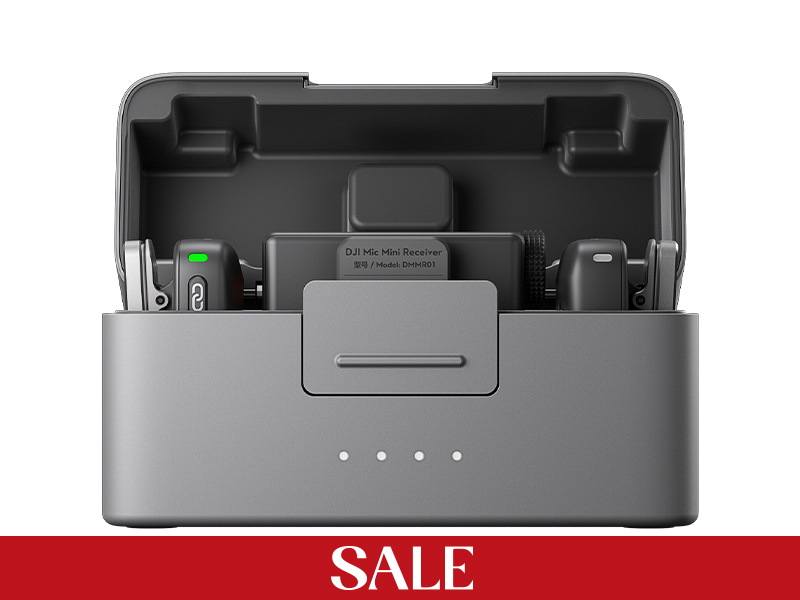 DJI Mic Mini Dual Microphone Combo
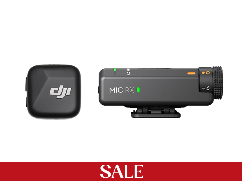 DJI Mic Mini Single Microphone Kit
 DJI Mic Mini Transmitter (Arctic White)
 DJI Mic Mini Transmitter (Infinity Black)
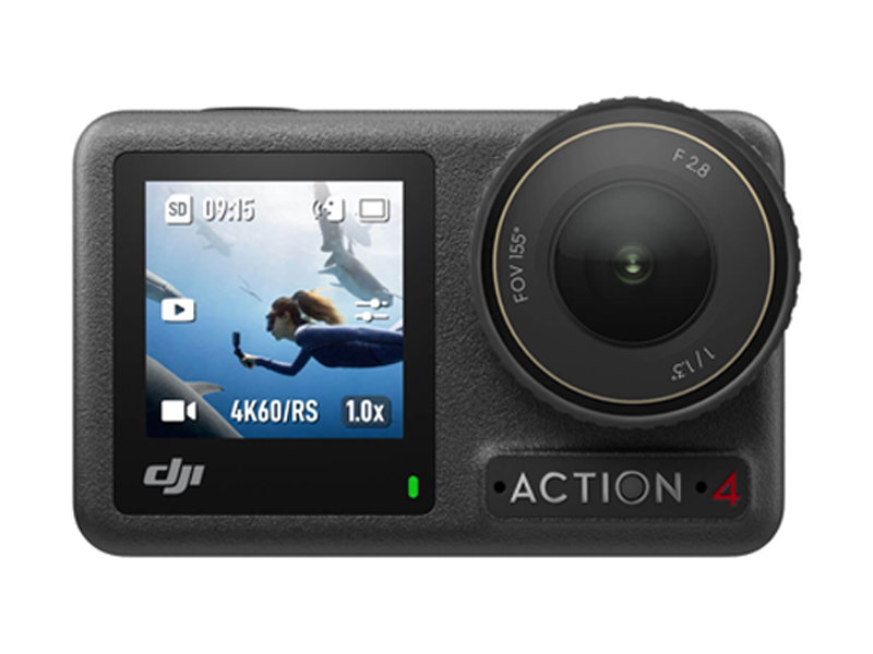 Osmo Action 4 Standard Combo
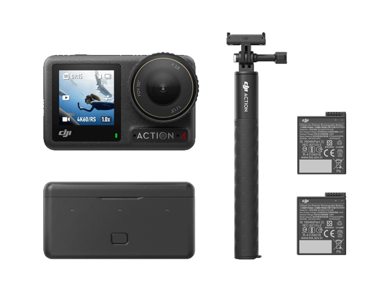 Osmo Action 4 Adventure Combo
 DJI Pocket 2
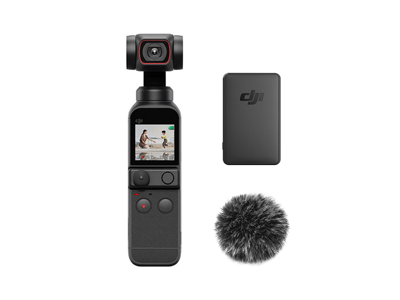 DJI Pocket 2 Creator Combo
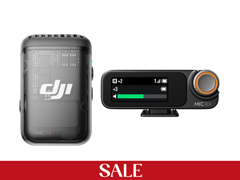 DJI Mic 2 Single Microphone Kit
 DJI Mic 2 Transmitter (Shadow Black)
 DJI Mic 2 Transmitter (Pearl White)
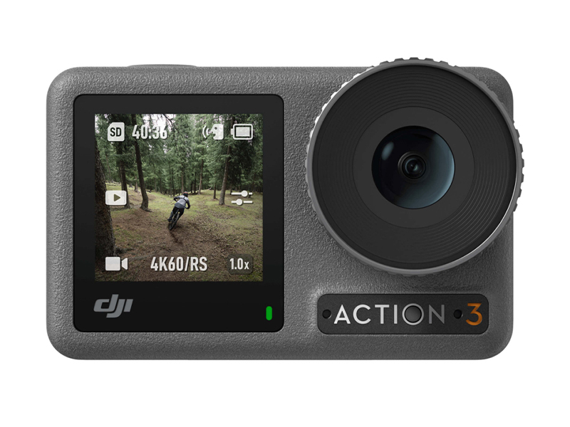 Osmo Action 3 Standard Combo
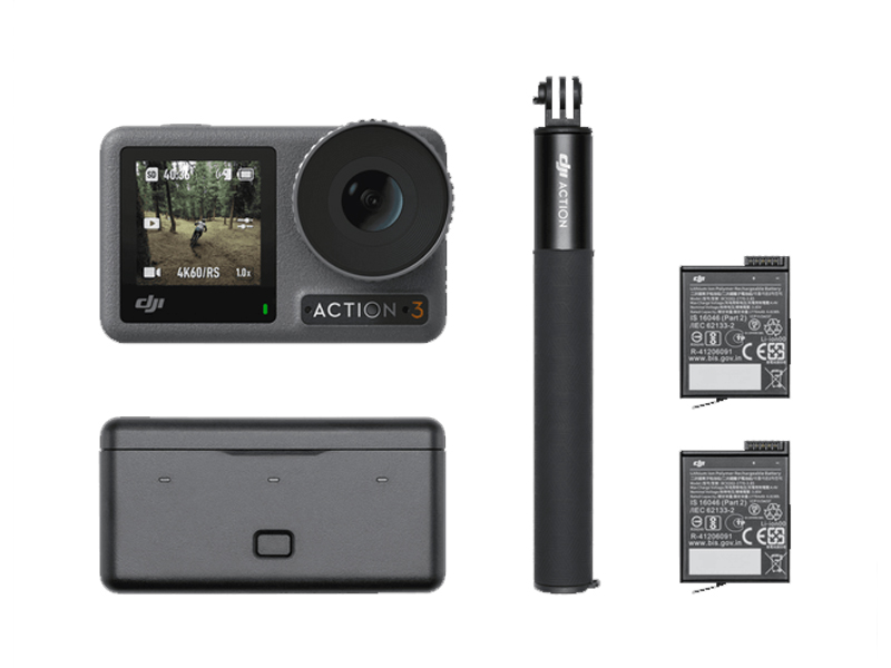 Osmo Action 3 Adventure Combo
 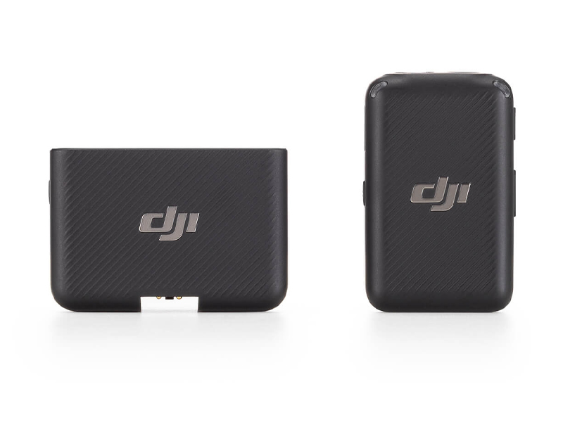 DJI Mic Single Microphone Kit
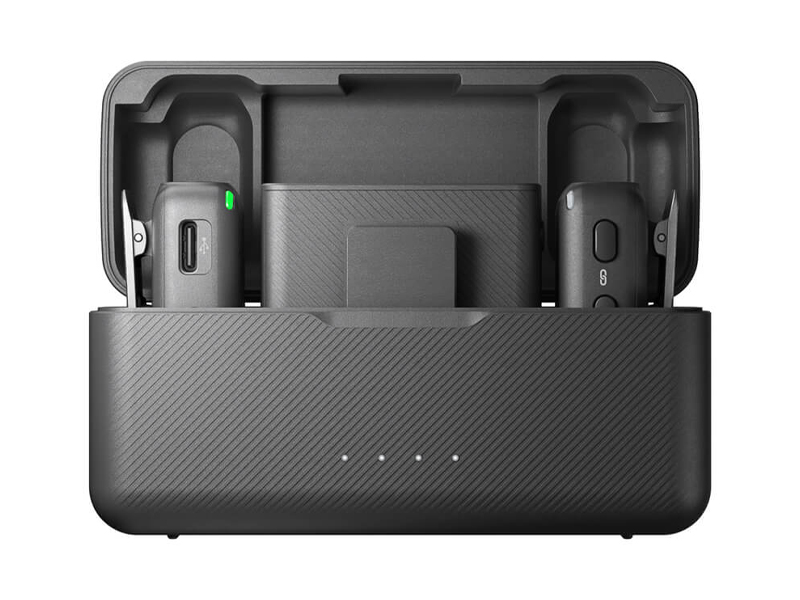 DJI Mic Dual Microphone Combo
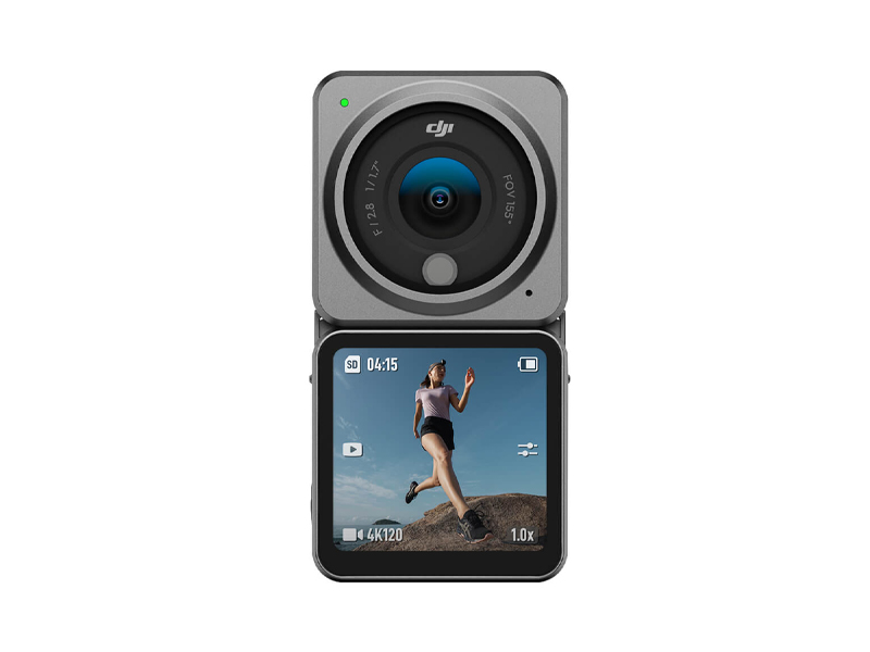 DJI Action 2 Dual Screen Combo
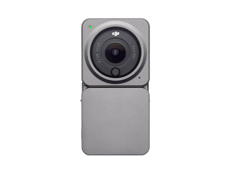 DJI Action 2 Power Combo
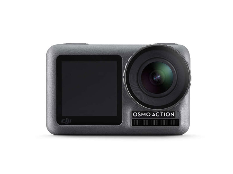 DJI Osmo Action
 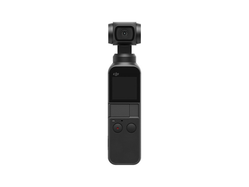 Osmo Pocket
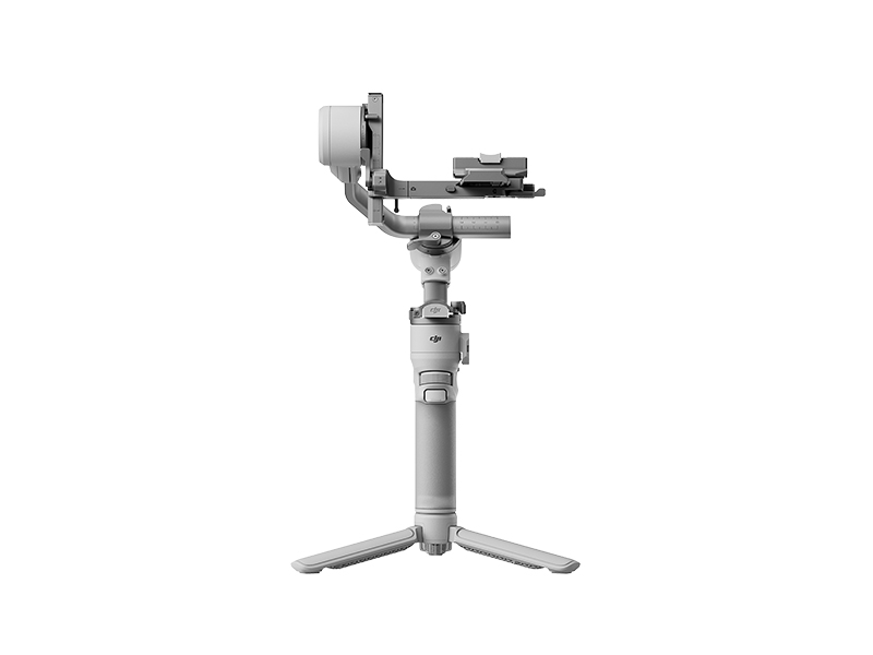 DJI RS 4 Mini
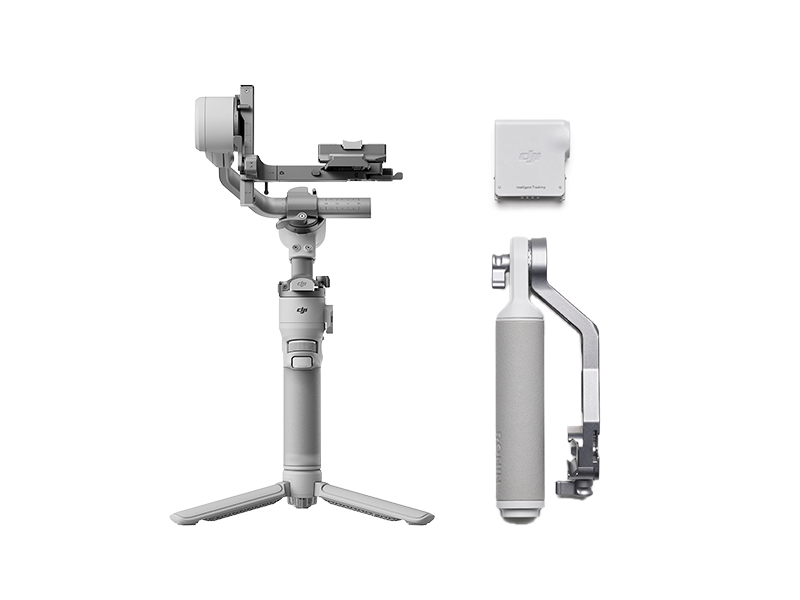 DJI RS 4 Mini Combo
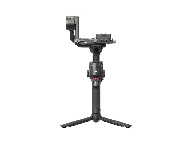 DJI RS 4
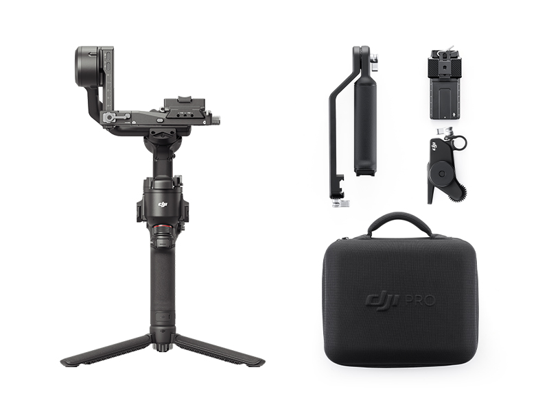 DJI RS 4 Combo
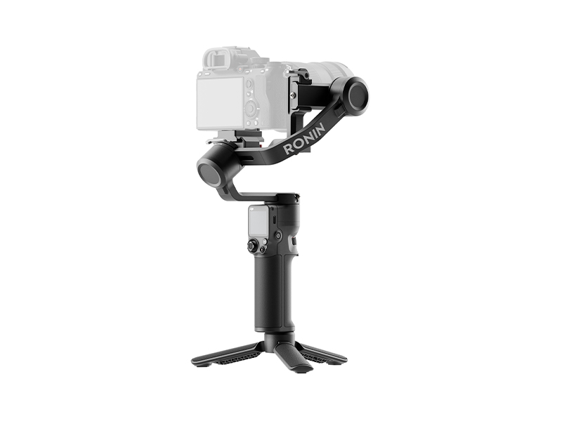 DJI RS 3 Mini
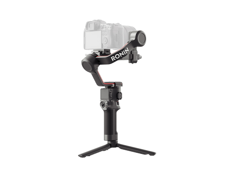 DJI RS 3
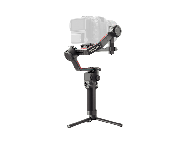 DJI RS 3 Pro
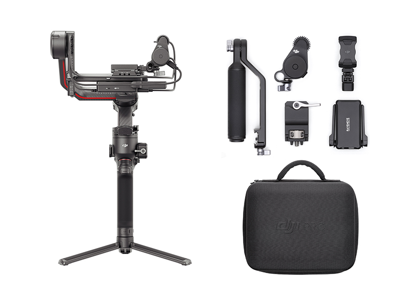 DJI RS 3 Pro Combo
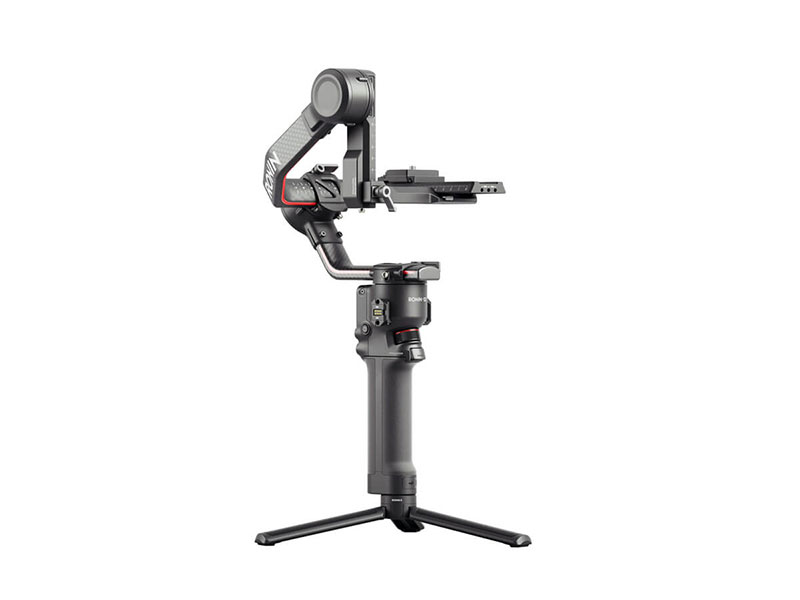 DJI RS 2
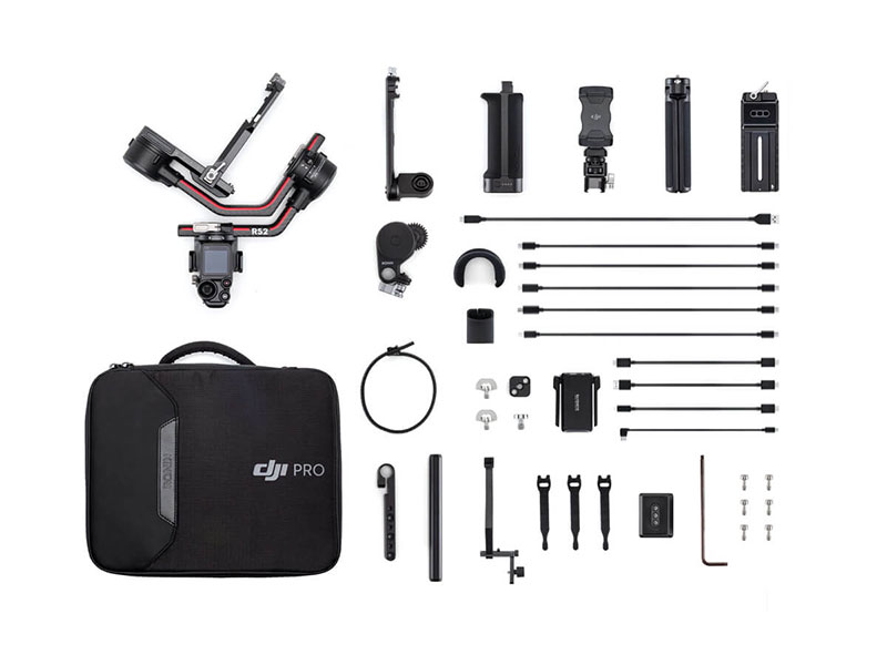 DJI RS 2 Pro Combo
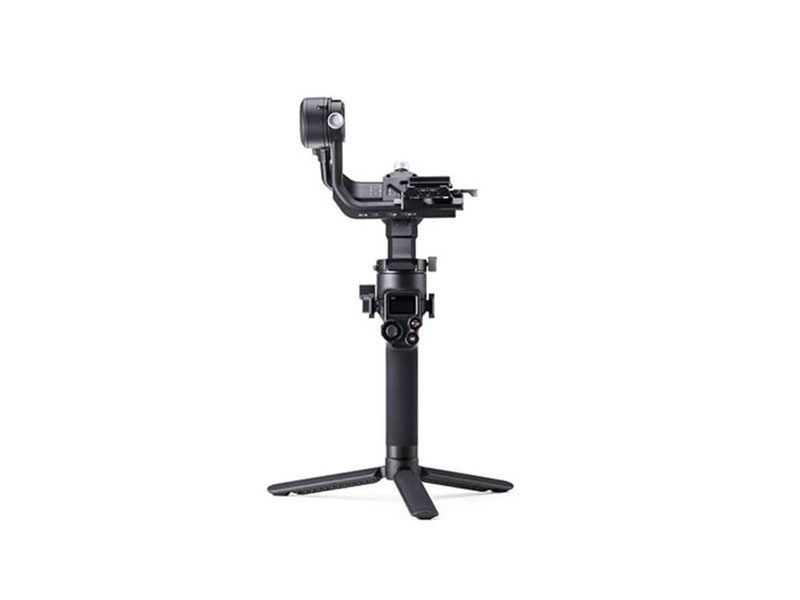 DJI RSC 2
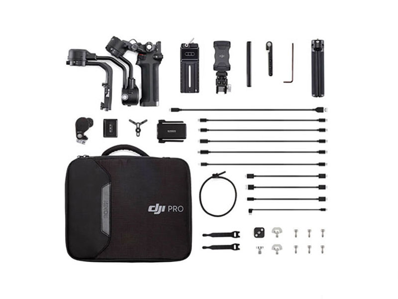 DJI RSC 2 Pro Combo
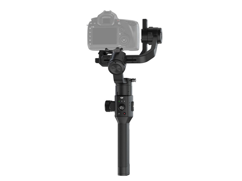 Ronin-S
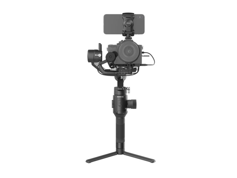 Ronin-SC
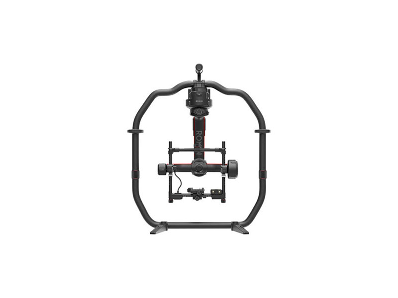 Ronin 2 Professional Combo
  Ronin 4D-6K
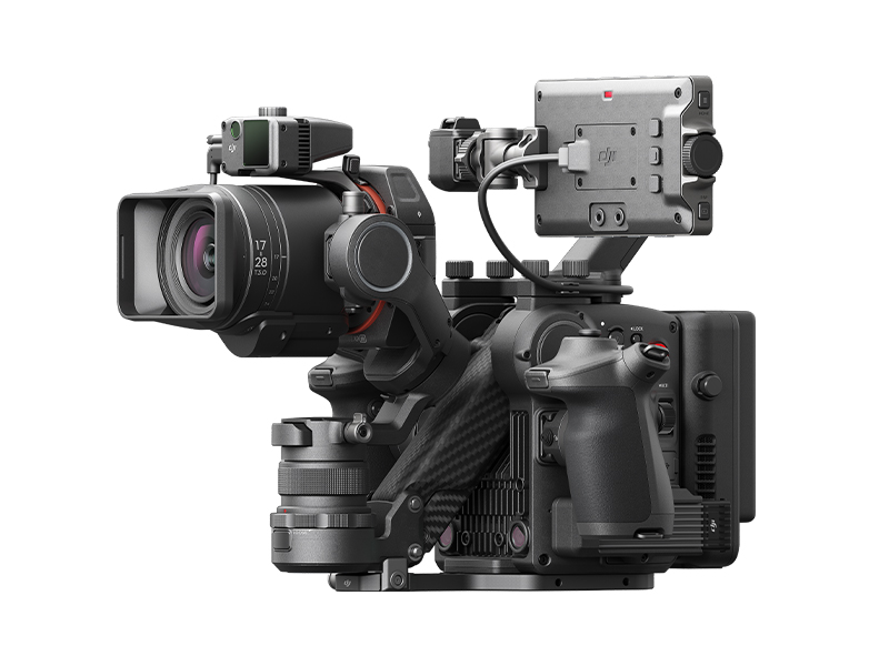 Ronin 4D-8K
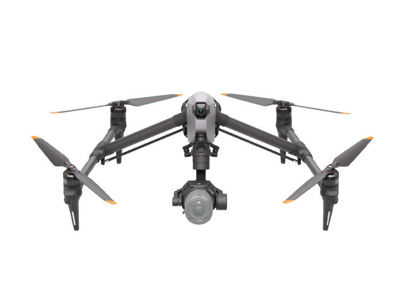 DJI Inspire 3
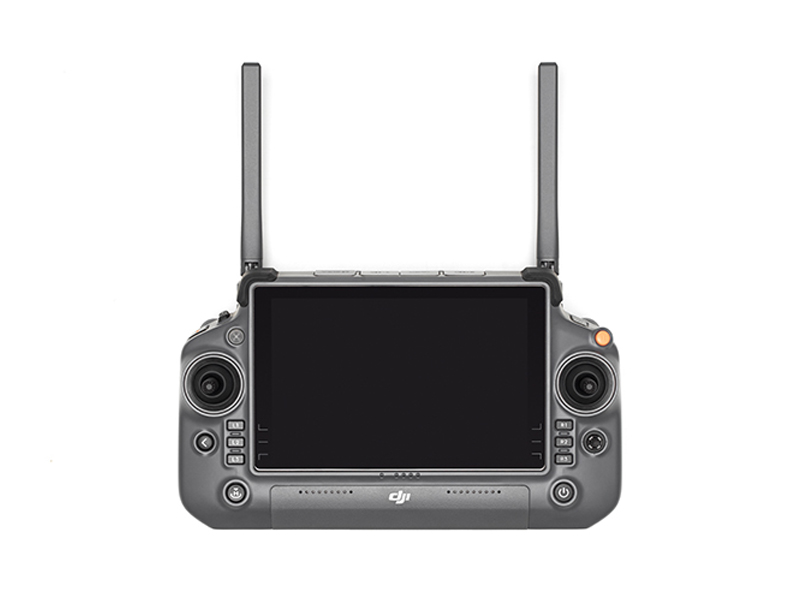 DJI RC Plus for DJI Inspire 3
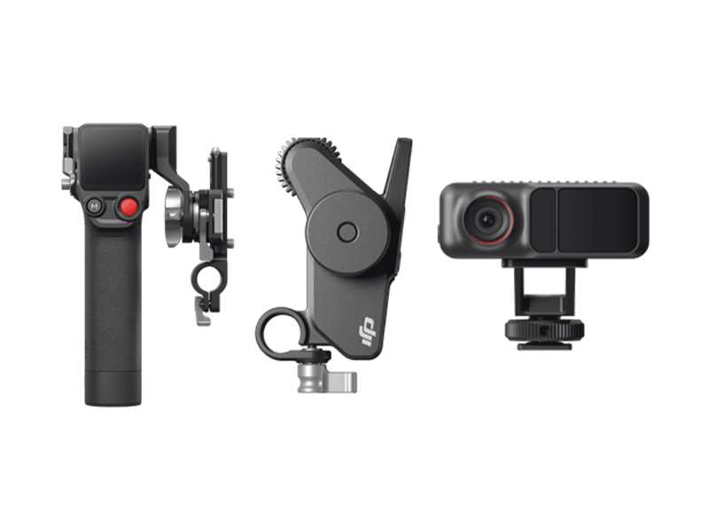 DJI Focus Pro Creator Combo
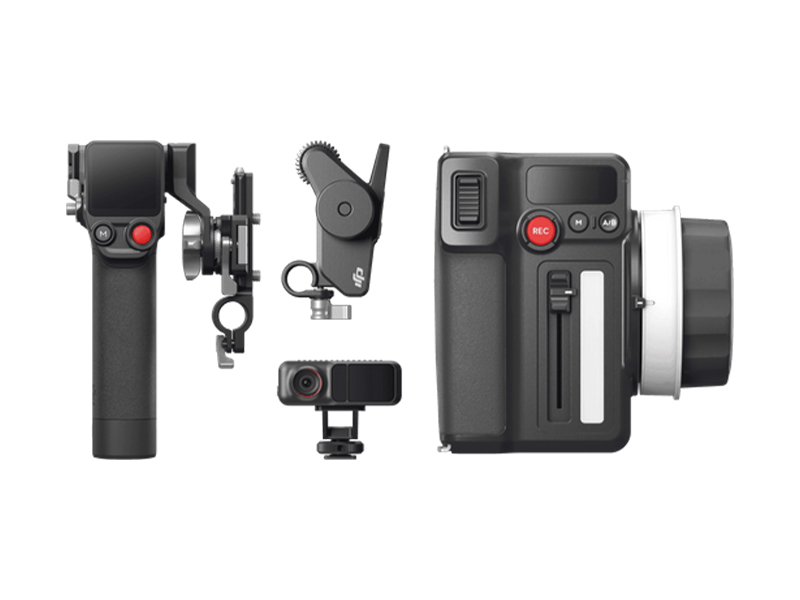 DJI Focus Pro All-In-One Combo
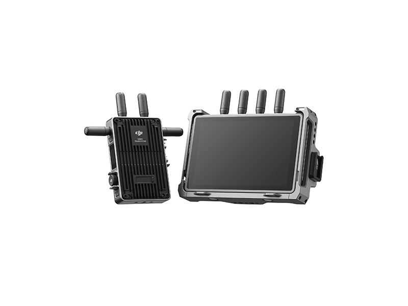 DJI Transmission (High-Bright Monitor Combo)
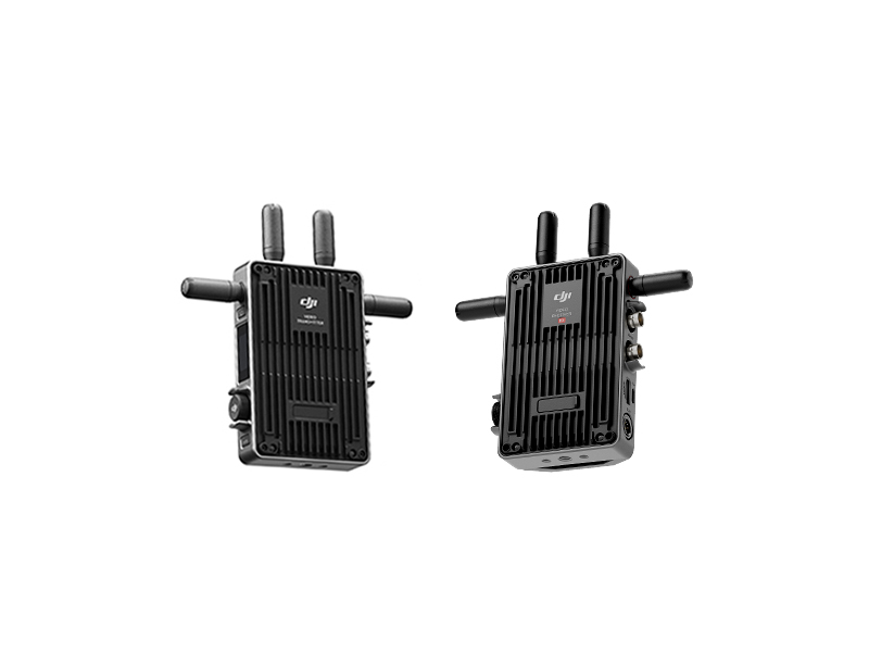 DJI Transmission (Standard Combo)
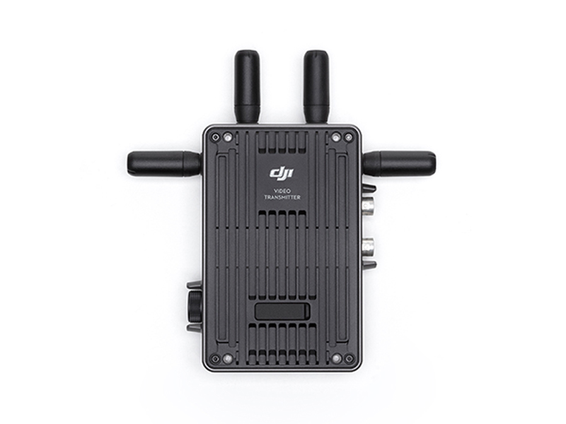 DJI Video Transmitter
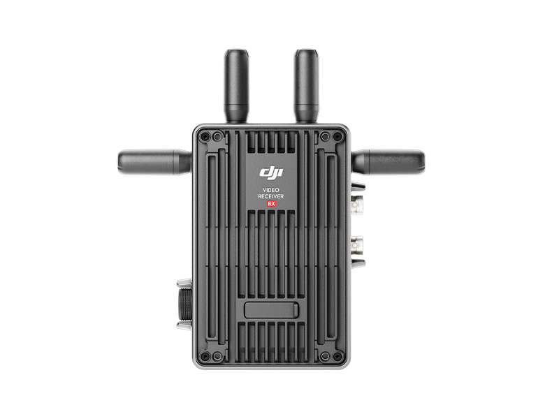 DJI Video Receiver
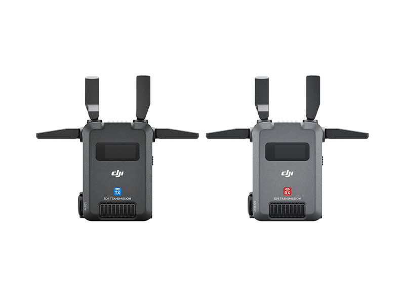 DJI SDR Transmission Combo
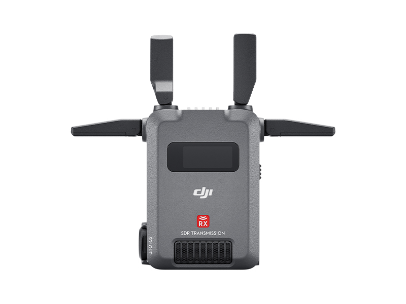 DJI SDR Transmission Receiver
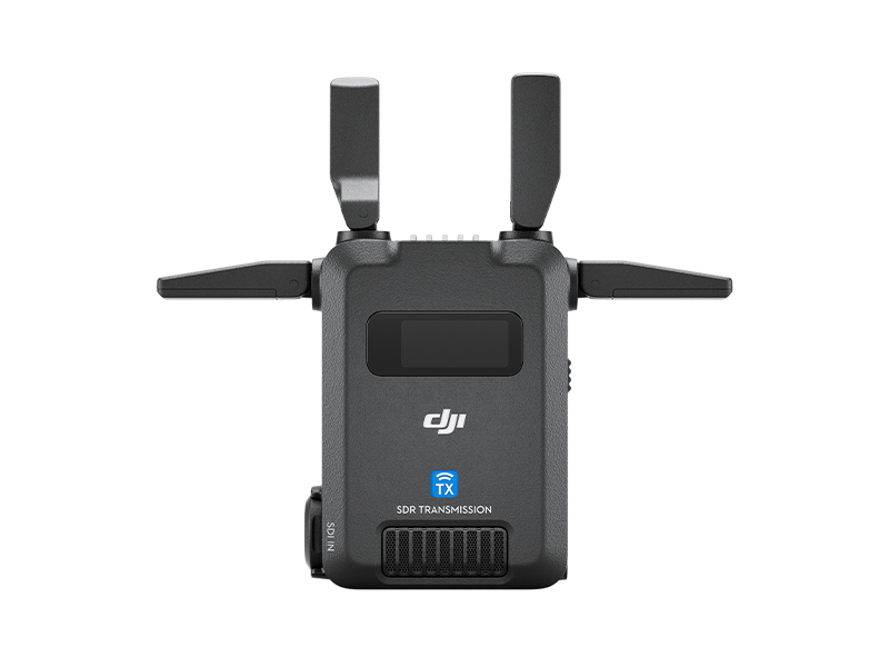 DJI SDR Transmission Transmitter
 Inspire 2
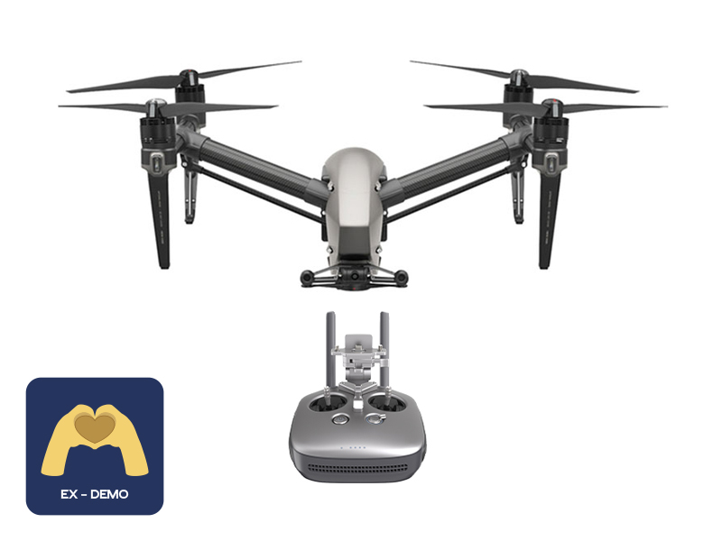 Ex-Demo Inspire 2
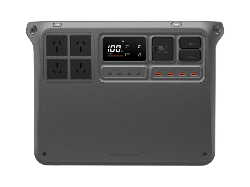 DJI Power 2000
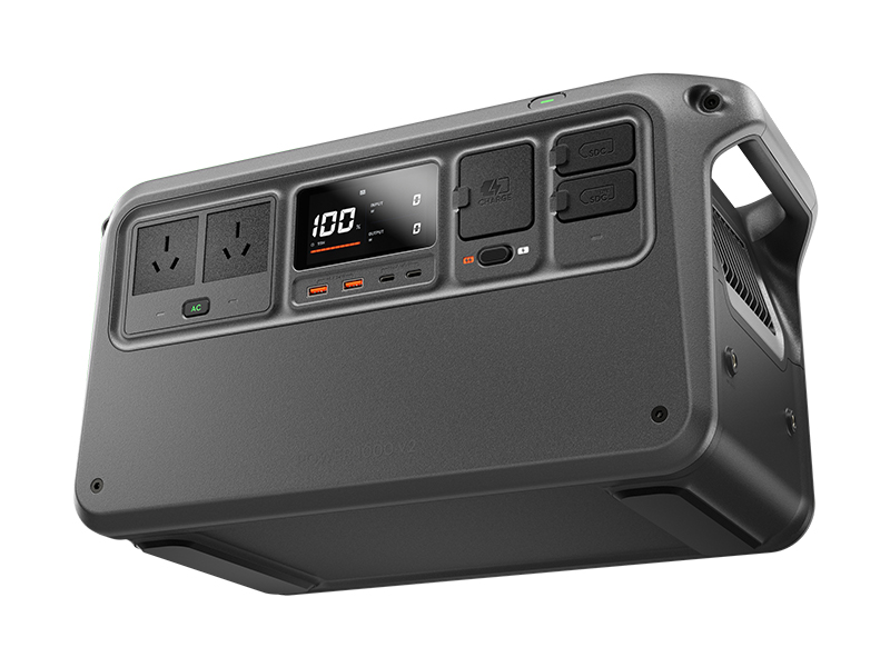 DJI Power 1000 V2
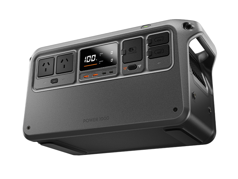 DJI Power 1000 Portable Power Station
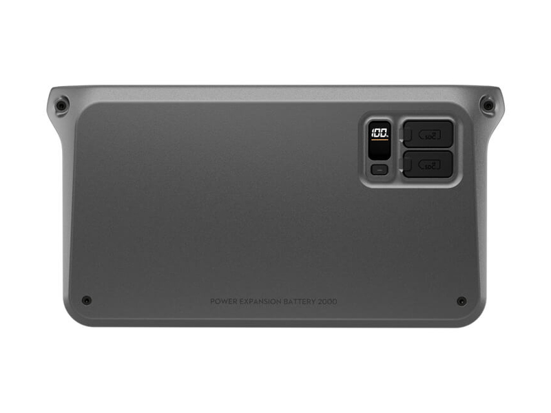 DJI Power Expansion Battery 2000
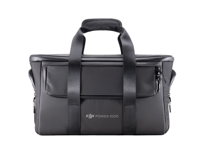 DJI Power 1000 Protective Storage Bag
 DJI Power Dongle
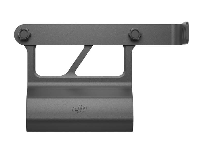 DJI Power Expansion Battery 2000 Mounting Kit
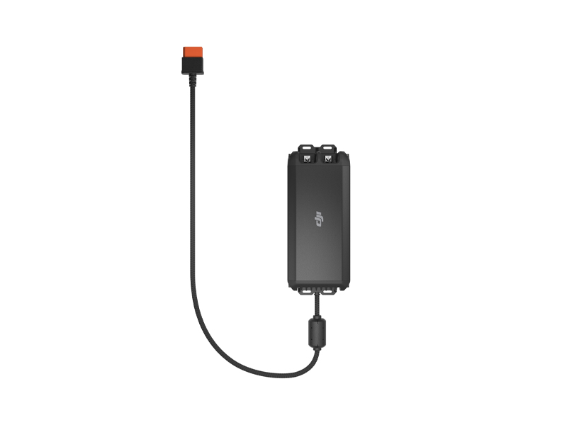 DJI Power 1kW Super Fast Car Charger
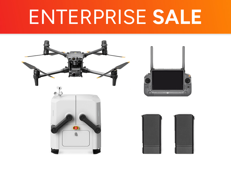 Ex-Demo M30T Dock Bundle (Universal Edition)
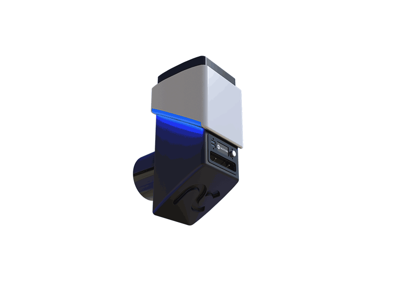 NextCore RN50 Drone LiDAR
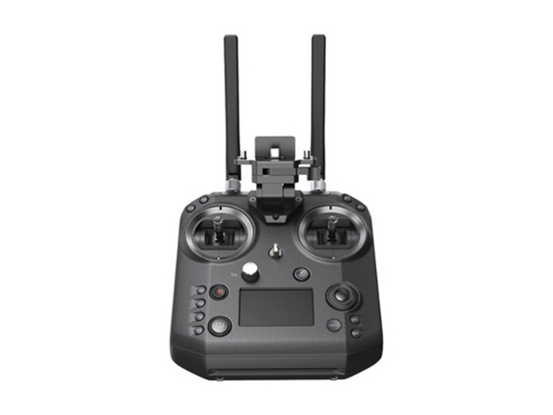 Cendence-S Remote Controller For M200 V2 Series
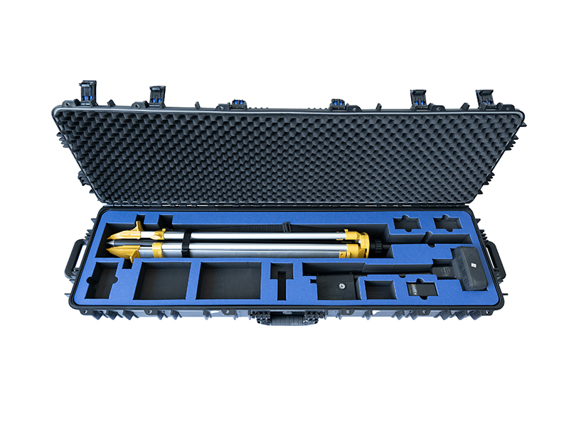 D1 Labs Safety Case for DJI D-RTK 2
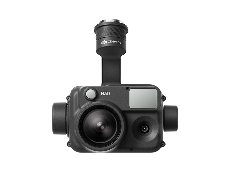 Zenmuse H30
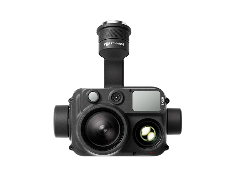 Zenmuse H30T
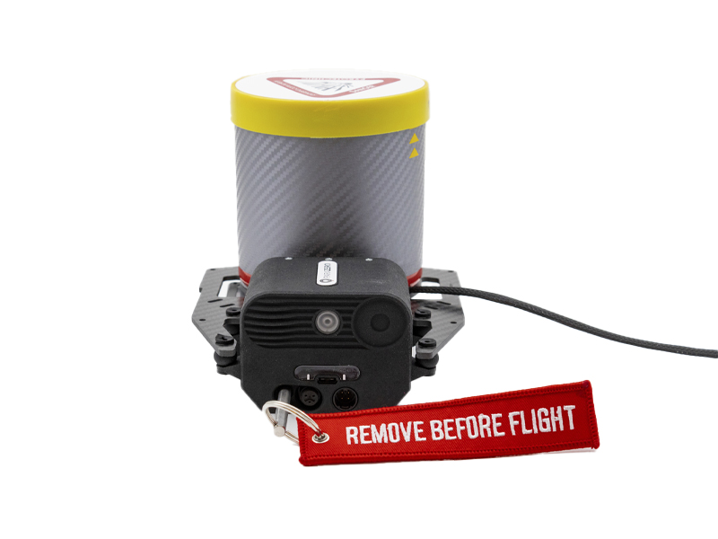 ParaZero SafeAir Parachute for Matrice 300 Series (ASTM Compliant)
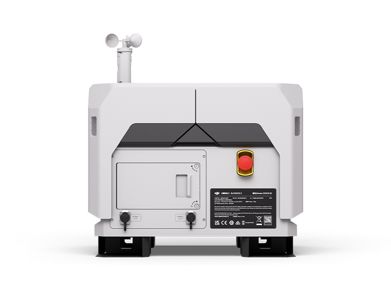 DJI Dock 2
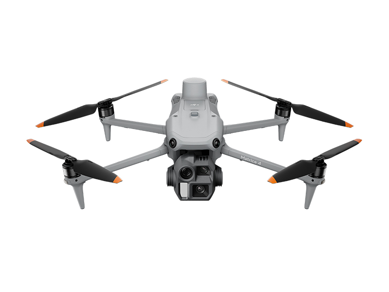 DJI Matrice 4E
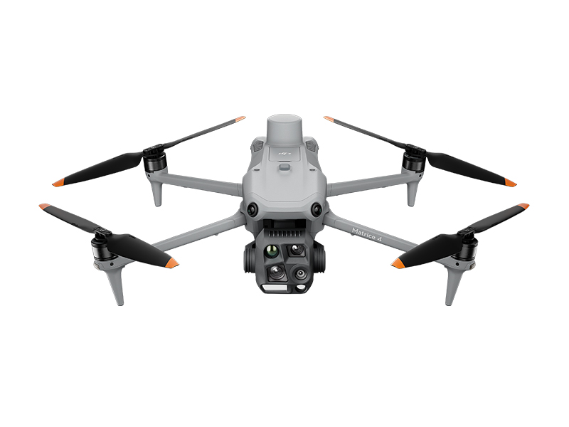 DJI Matrice 4T
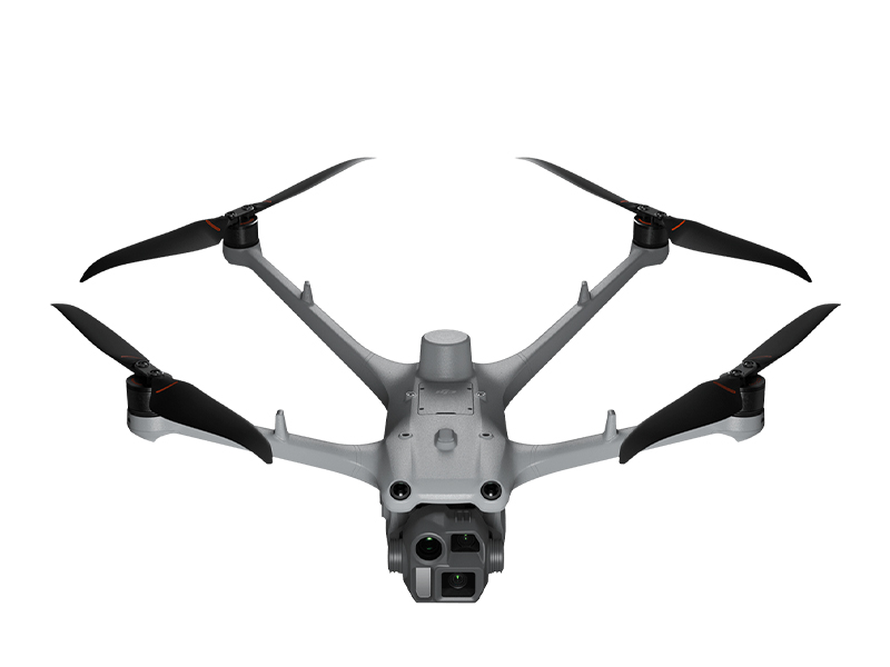 DJI Matrice 4D
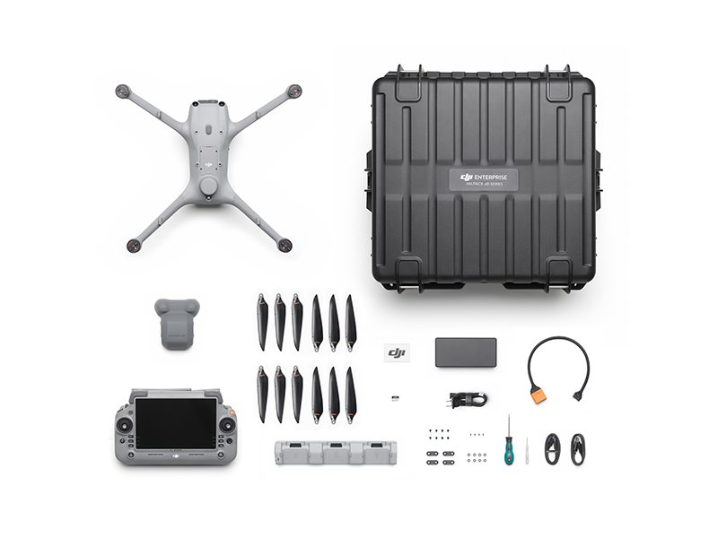 DJI Matrice 4D Combo
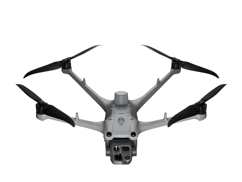 DJI Matrice 4TD
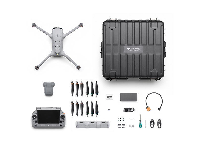 DJI Matrice 4TD Combo
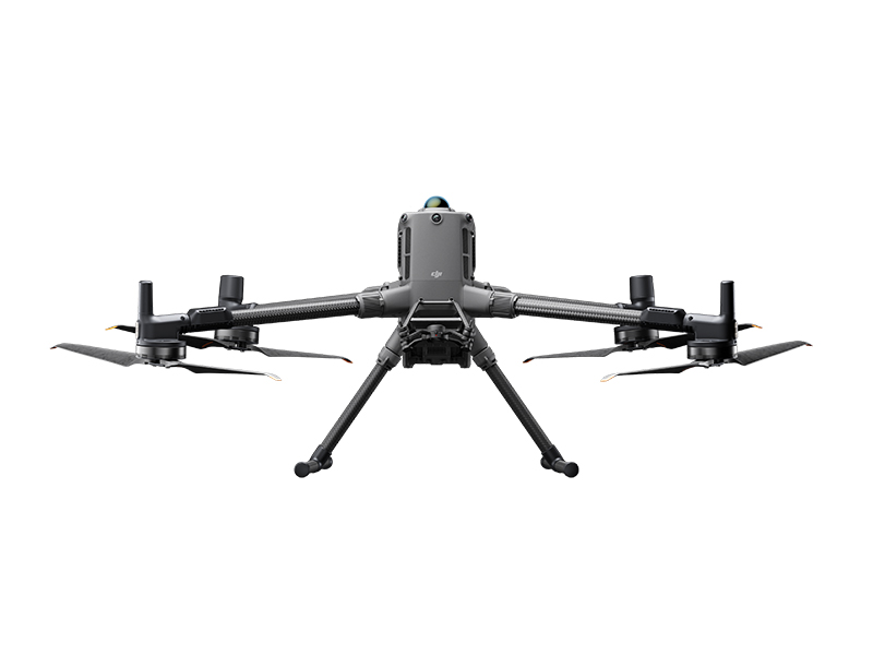 DJI Matrice 400
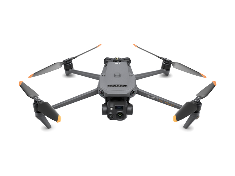 DJI Mavic 3 Thermal Advanced
 DJI Mavic 3 Enterprise
 DJI Mavic 3 Thermal
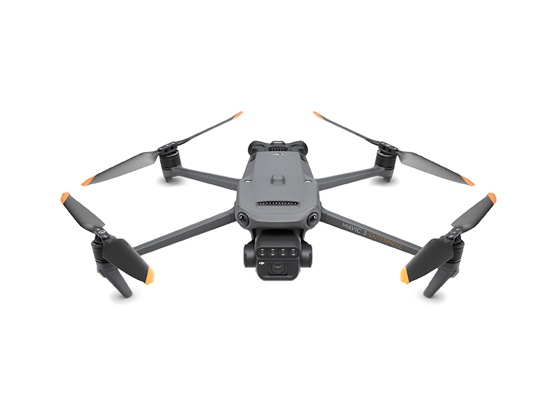 DJI Mavic 3 Multispectral
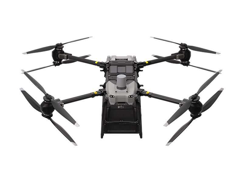 DJI FlyCart 30
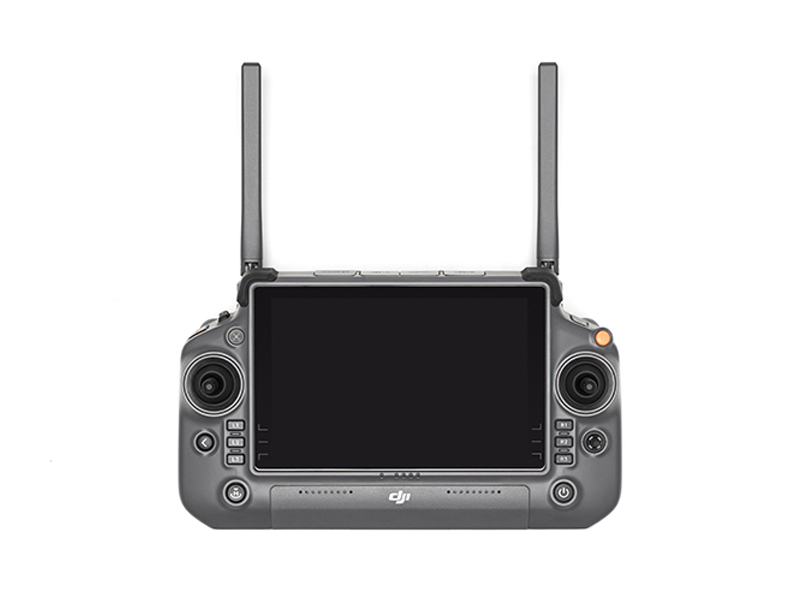 DJI RC Plus for DJI FlyCart 30
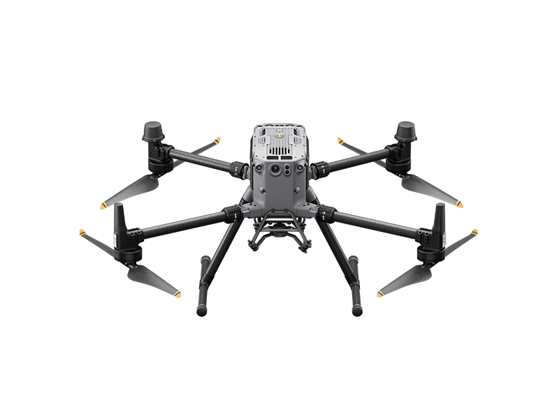 Matrice 350 RTK
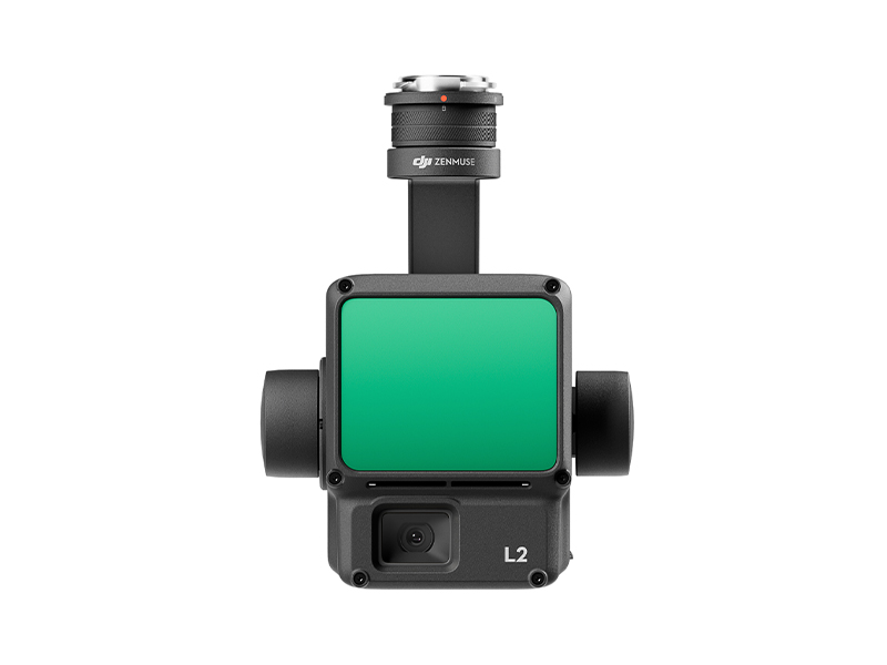 Zenmuse L2
 Zenmuse P1
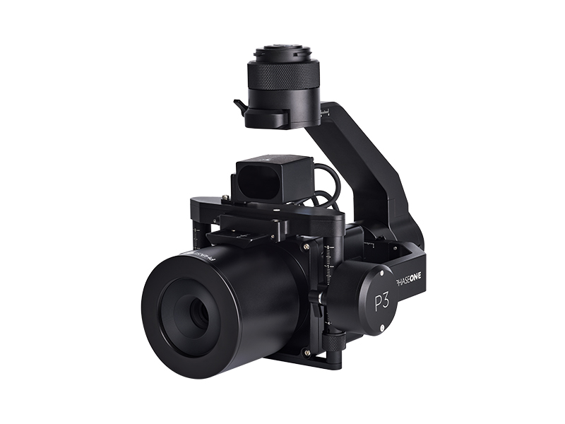 Phase One P3 Payload (iXM 120MP) with 80mm AF
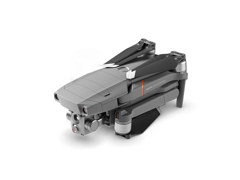 Mavic 2 Enterprise Advanced
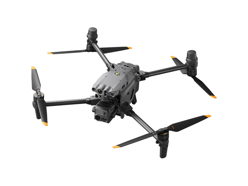 Matrice 30T
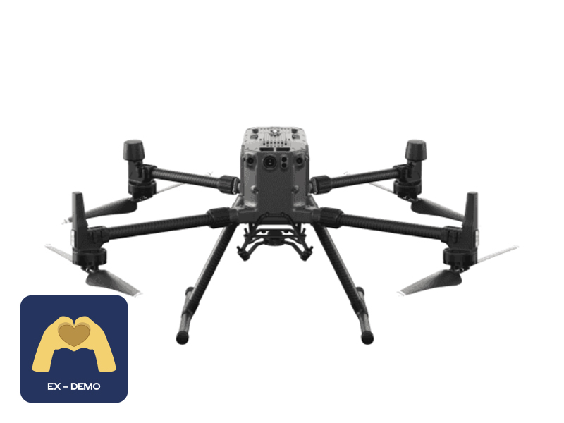 Ex-Demo Matrice 300 RTK
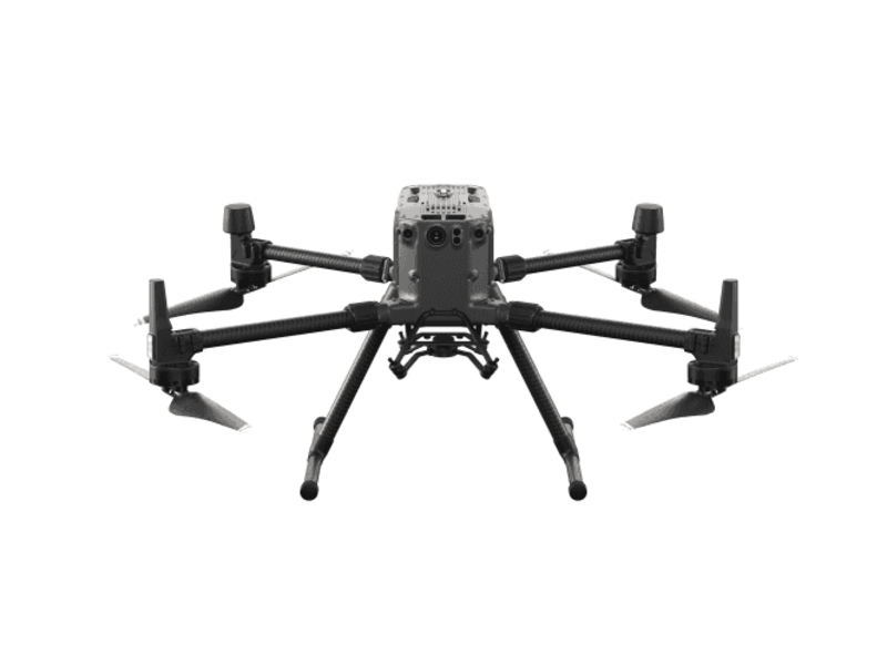 Matrice 300 RTK
 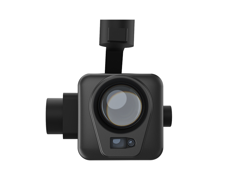 Deepthink S2 Pro Night Vision Payload
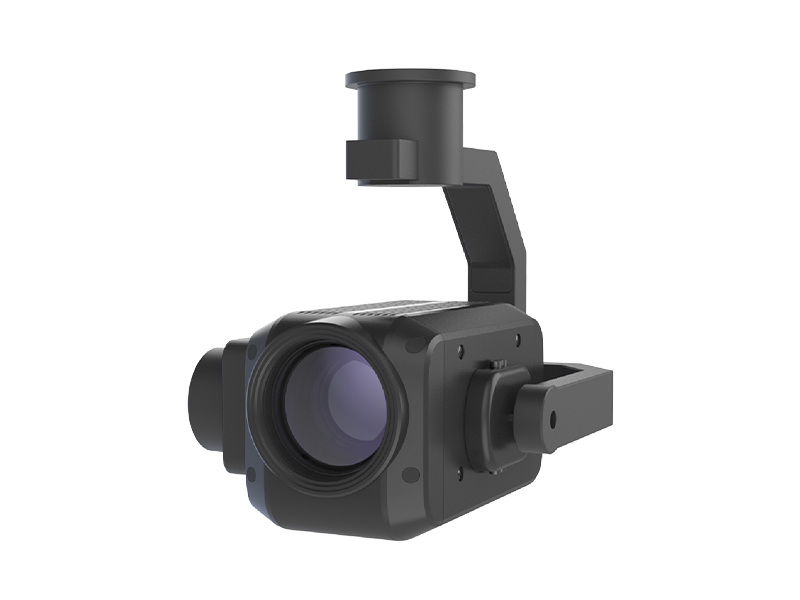 Deepthink S2 Night Vision Payload for Matrice 300 Series
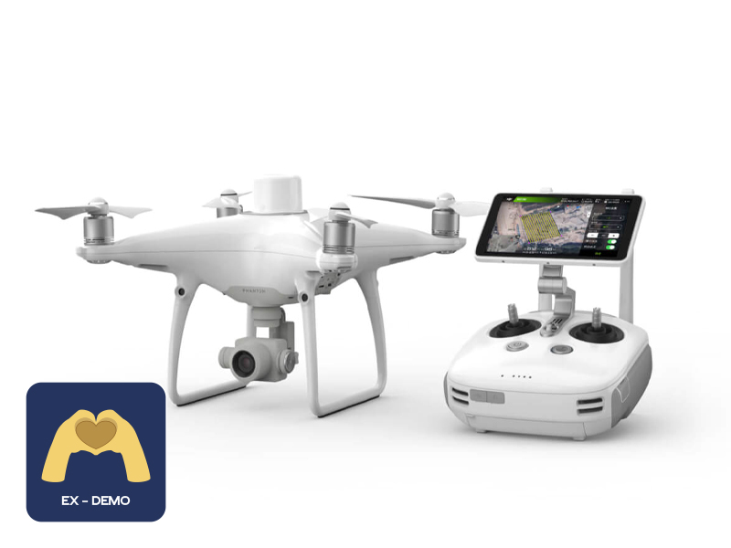 Ex-Demo Phantom 4 RTK
 DJI Care Enterprise Plus (DJI Matrice 400)
 DJI Care Enterprise Plus (DJI Matrice 4E)
 DJI Maintenance Program Basic Service (Matrice 300 RTK)
 DJI Maintenance Program Standard Service (Mavic 2 Series)
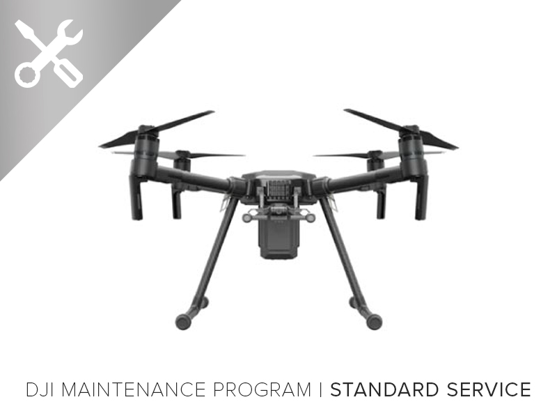 DJI Maintenance Program Standard Service (Matrice 300 RTK)
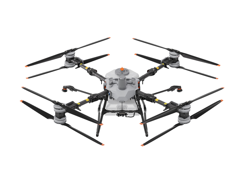 DJI AGRAS T100
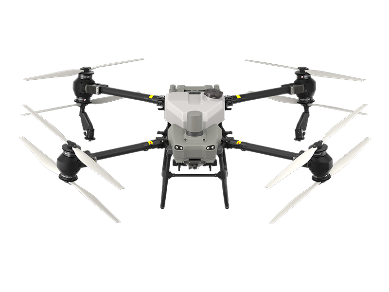 AGRAS T50
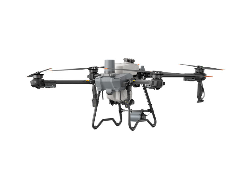 DJI AGRAS T25P
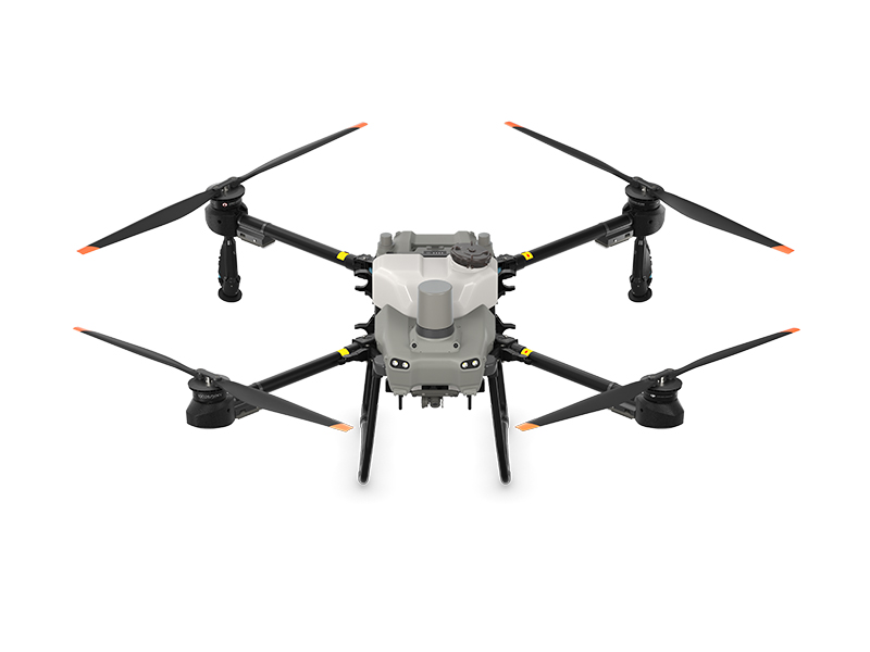 AGRAS T25
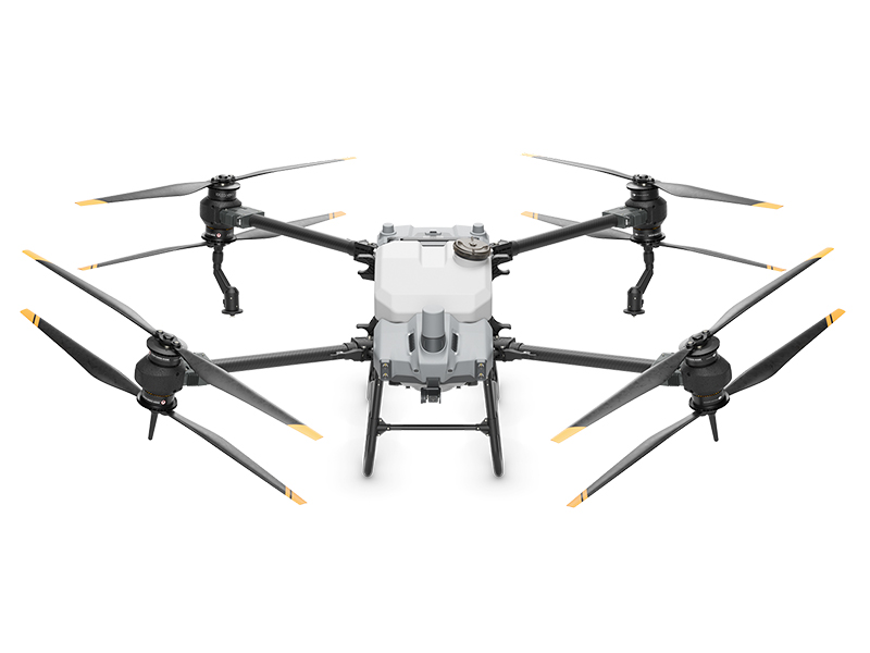 AGRAS T40
 DJI AGRAS T30 (Excluding Batteries)
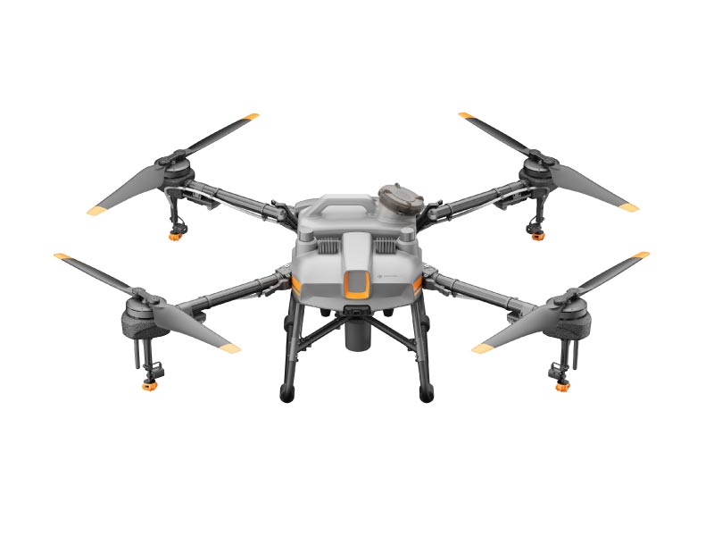 DJI AGRAS T10 (Excludes Batteries)
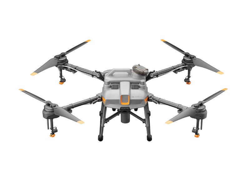 DJI AGRAS T10 Ready To Fly (3pcs Battery)
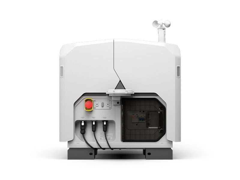 DJI Dock 3
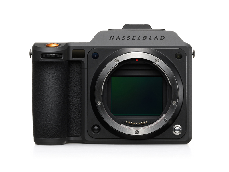 X2D II 100C
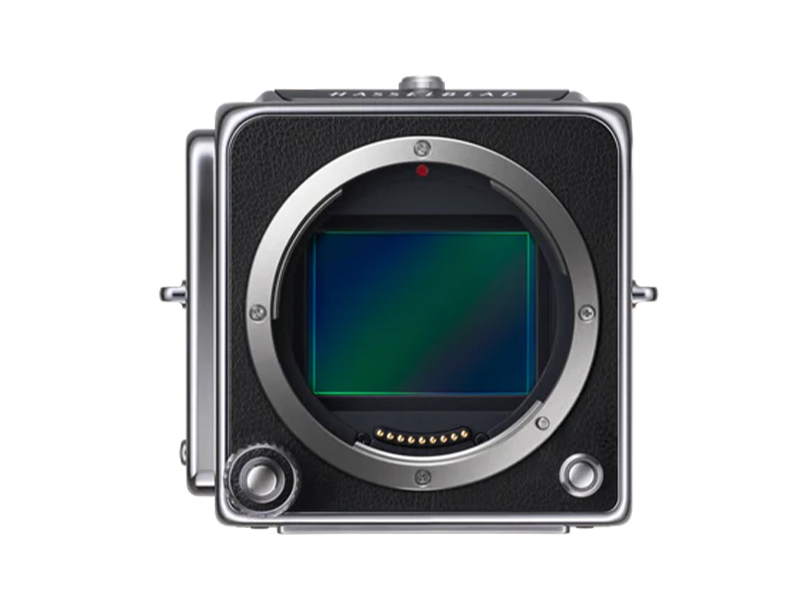 907X & CFV 100C
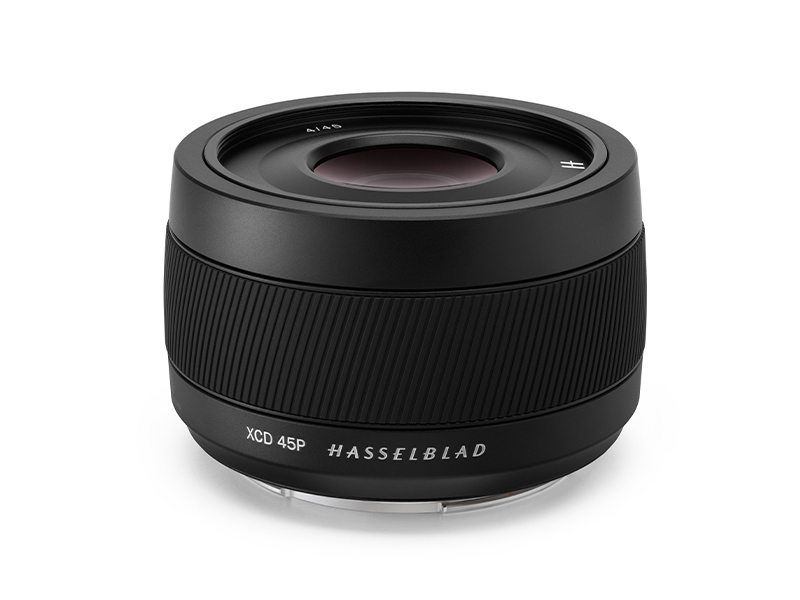 XCD 45P
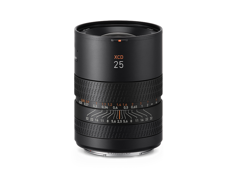 XCD 2,5/25V
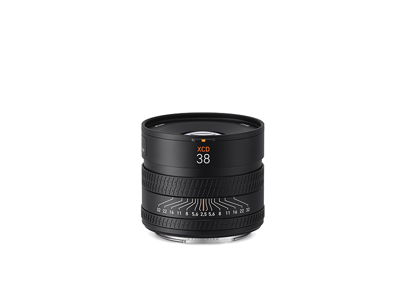 XCD 2,5/38V
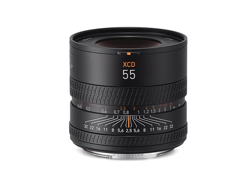 XCD 2,5/55V
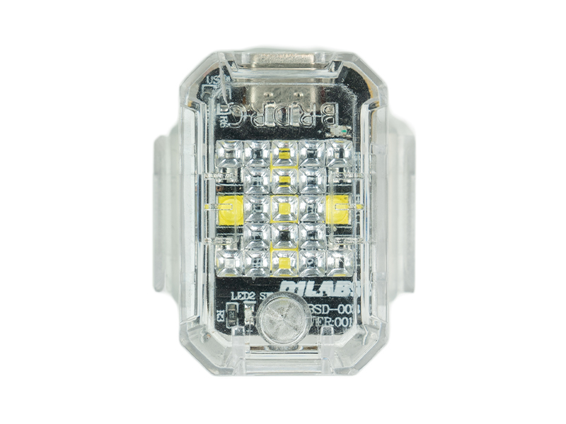 D1 Labs Ultrabright Drone Strobe Light
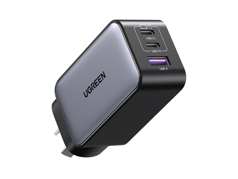 UGREEN 65W Nexode GaN II Charger
 LiPO Battery Safe Bag (Medium)
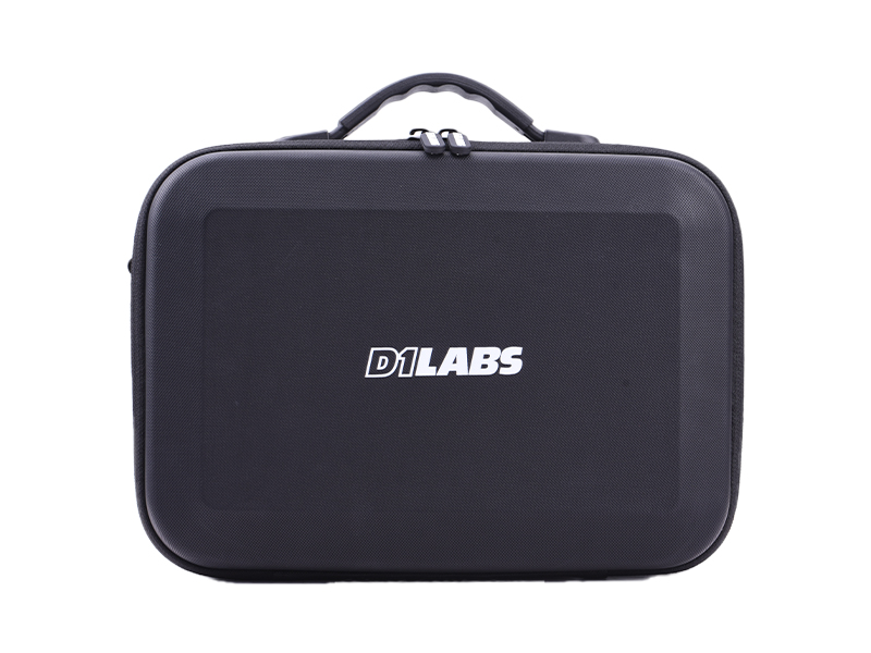 D1 Labs Carry Case for DJI Neo Fly More Combo
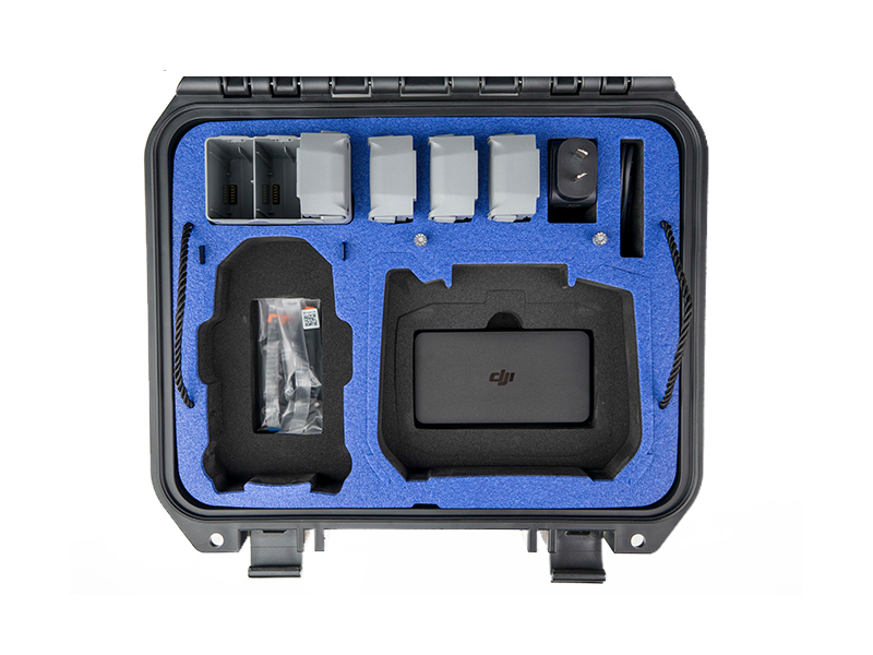 D1 Labs Safety Case for DJI Mini 5 Pro
 DJI Care Refresh 1-Year Plan (DJI Mini 5 Pro)
 DJI Care Refresh 2-Year Plan (DJI Mini 5 Pro)
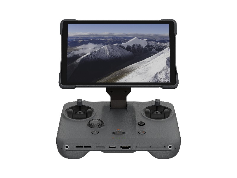 DJI RC Pro 2
 DJI Care Refresh 1-Year Plan (DJI Neo)
 DJI Care Refresh 2-Year Plan (DJI Neo)
 DJI Care Refresh 1-Year Plan (Osmo Pocket 3)
 DJI Care Refresh 2-Year Plan (Osmo Pocket 3)
 D1 Labs Carry Case for Osmo Pocket 3
 Osmo Pocket 3 Carrying Bag
 DJI Care Refresh 1-Year Plan (Osmo Mobile 7P)
 DJI Care Refresh 2-Year Plan (Osmo Mobile 7P)
 DJI Care Refresh 1-Year Plan (Osmo Mobile 7)
 DJI Care Refresh 2-Year Plan (Osmo Mobile 7)
 Osmo 1.6m Tripod Selfie Stick
 DJI OM Magnetic Phone Clamp 4
 DJI Care Refresh 1-Year Plan (DJI RS 4 Mini)
 DJI Care Refresh 2-Year Plan (DJI RS 4 Mini)
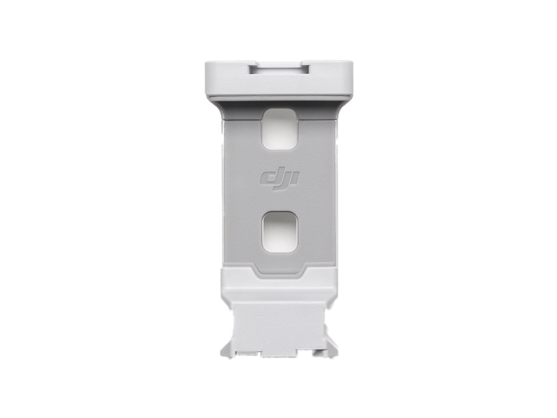 DJI RS 4 Mini Phone Holder
 DJI RS Multi-Camera Control Cable (USB-C)
 DJI Care Refresh 1-Year Plan (DJI Mini 4 Pro)
 DJI Care Refresh 2-Year Plan (DJI Mini 4 Pro)
 DJI Care Refresh 1-Year Plan (DJI Air 3S)
 DJI Care Refresh 2-Year Plan (DJI Air 3S)
 DJI Care Refresh 1-Year Plan (DJI RS 4)
 DJI Care Refresh 2-Year Plan (DJI RS 4)
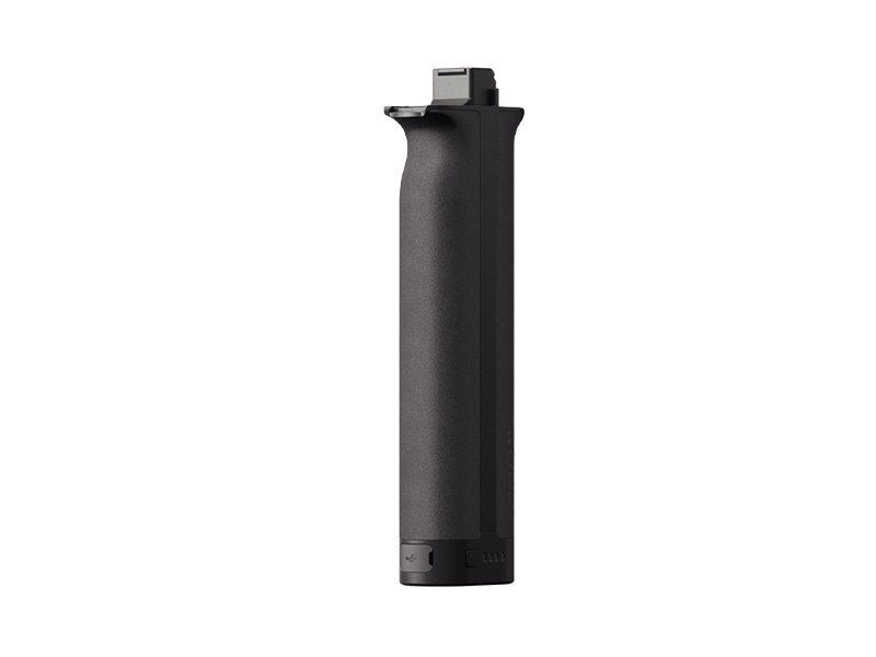 DJI RS BG70 High-Capacity Battery Grip
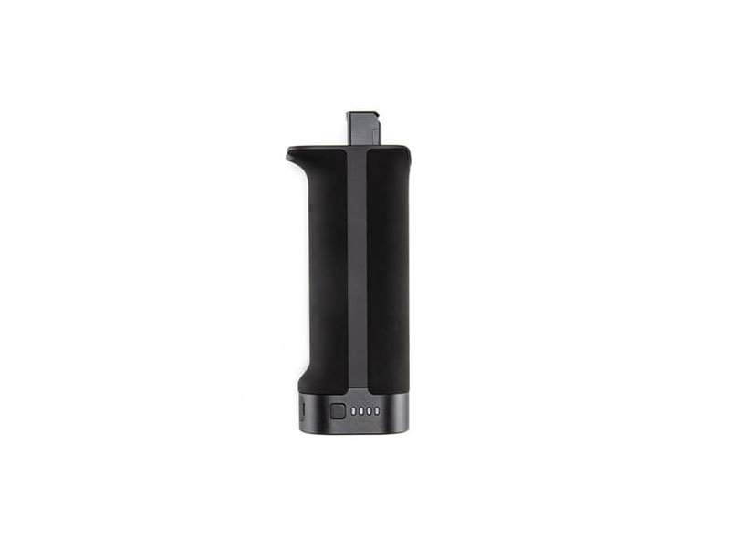 DJI RS BG30 Battery Grip
 DJI Care Refresh 1-Year Plan (Osmo Action 5 Pro)
 DJI Care Refresh 2-Year Plan (Osmo Action 5 Pro)
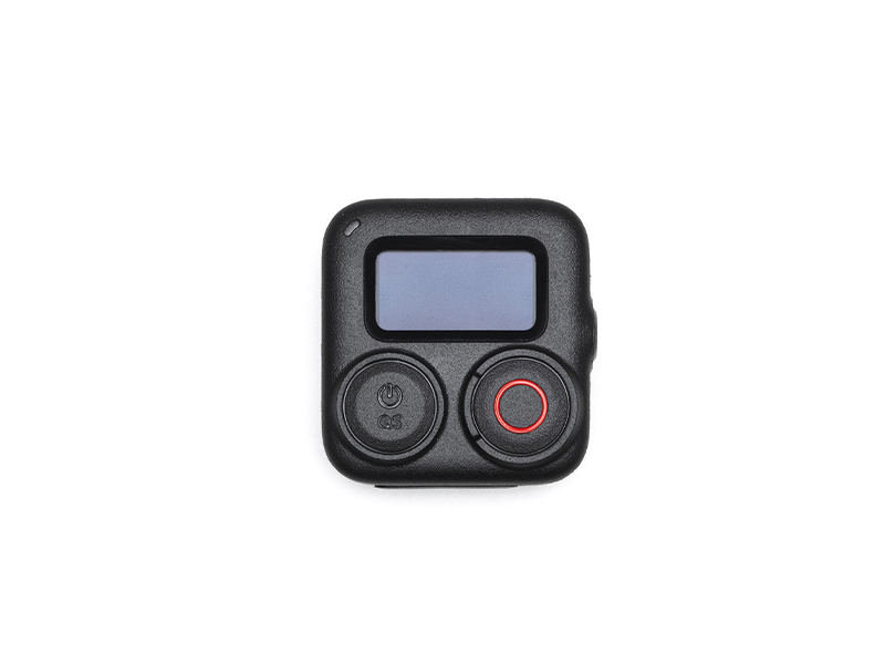 Osmo Action GPS Bluetooth Remote Controller
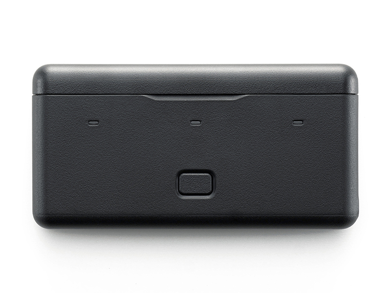 Osmo Multifunctional Battery Case 3
 DJI Care Refresh 1-Year Plan (DJI Mavic 4 Pro)
 DJI Care Refresh 2-Year Plan (DJI Mavic 4 Pro)
 D1 Labs Safety Case for DJI Mavic 4 Pro
 DJI Care Refresh 1-Year Plan (DJI RS 4 Pro)
 DJI Care Refresh 2-Year Plan (DJI RS 4 Pro)
 DJI Care Refresh 1-Year Plan (Osmo Action 4)
 DJI Care Refresh 2-Year Plan (Osmo Action 4)
 Osmo Action Carrying Bag
 DJI Mic 3 Receiver
 DJI Mic 3 Transmitter
 DJI Mic 3 Charging Case
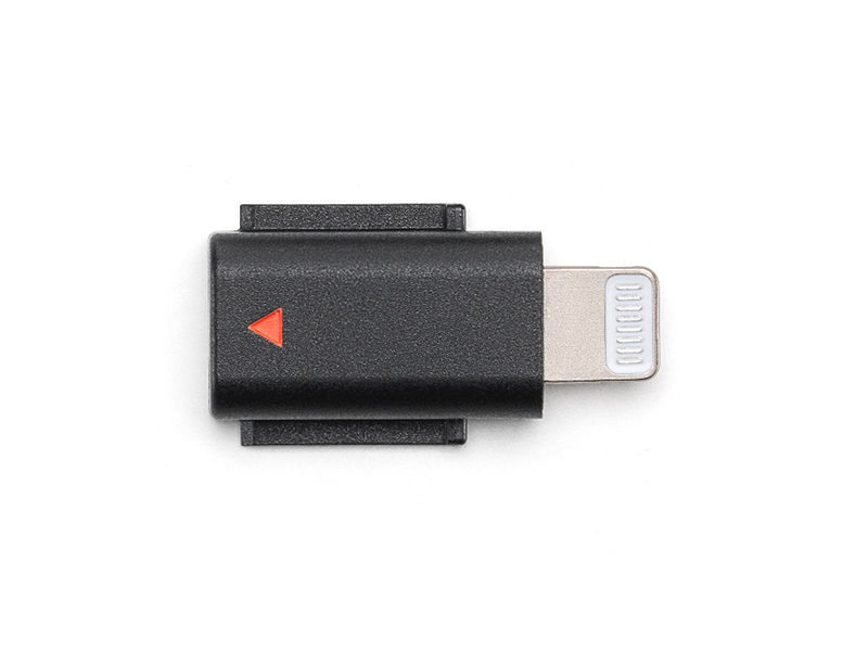 DJI Mic 3 Mobile Phone Adapter (Lightning)
 DJI Care Refresh 1-Year Plan (Osmo Action 3)
 DJI Care Refresh 2-Year Plan (Osmo Action 3)
 DJI Mic Series Mobile Receiver
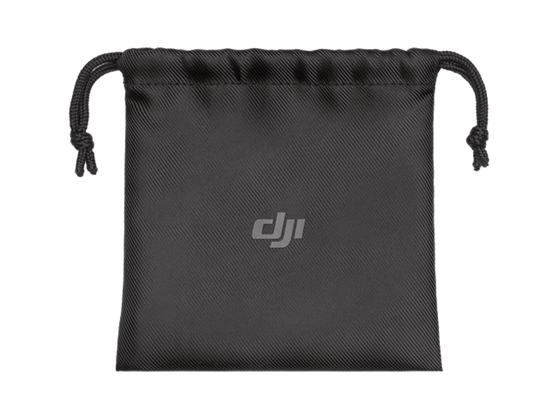 DJI Mic Series Carrying Pouch
 DJI Care Refresh 1-Year Plan (Osmo Nano)
 DJI Care Refresh 2-Year Plan (Osmo Nano)
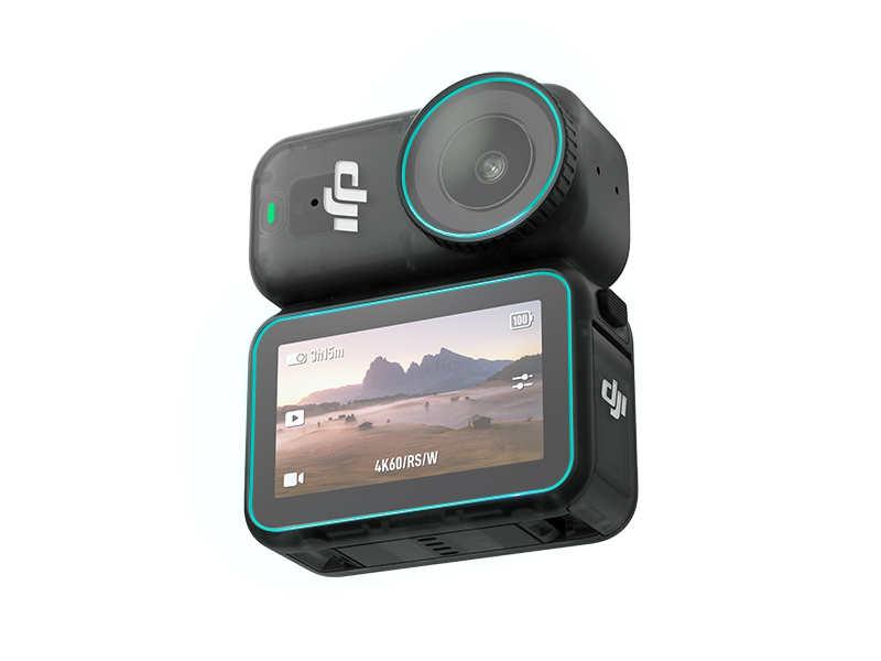 D1 Labs Screen & Lens Protector for Osmo Nano
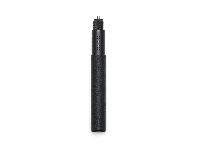 Osmo 70cm Invisible Selfie Stick
 DJI Care Refresh 1-Year Plan (Osmo 360)
 DJI Care Refresh 2-Year Plan (Osmo 360)
 Osmo 360 Carrying Bag
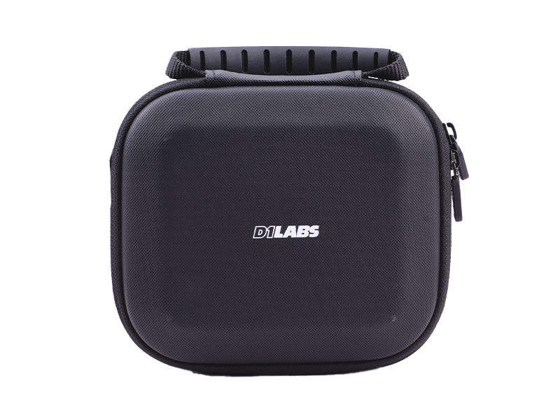 D1 Labs Carry Case for DJI Neo
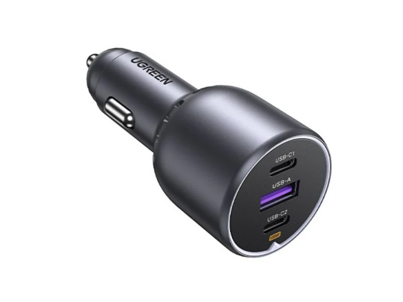 UGREEN 130W USB-C Car Charger
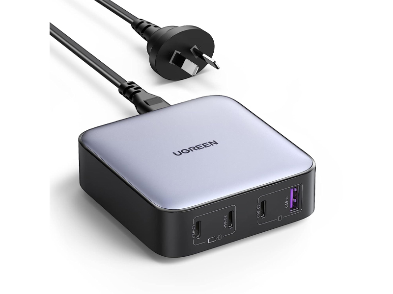 UGREEN 100W USB-C Charging Station
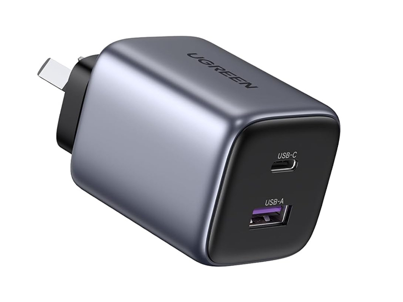 UGREEN 35W Nexode GaN II Charger
 D1 VIP Device Activation & Setup
 Comprehensive Drone Insurance Services
 D1 Labs Landing Pad Pro (50CM)
 D1 Labs Landing Pad Pro (65CM)
 D1 Labs Landing Pad Pro (100CM)
 D1 Labs Weighted Drone Landing Pad (92 cm)
 PGYTECH OneGo Air Backpack 25L | Obsidian Black
 PGYTECH OneMo FPV Backpack
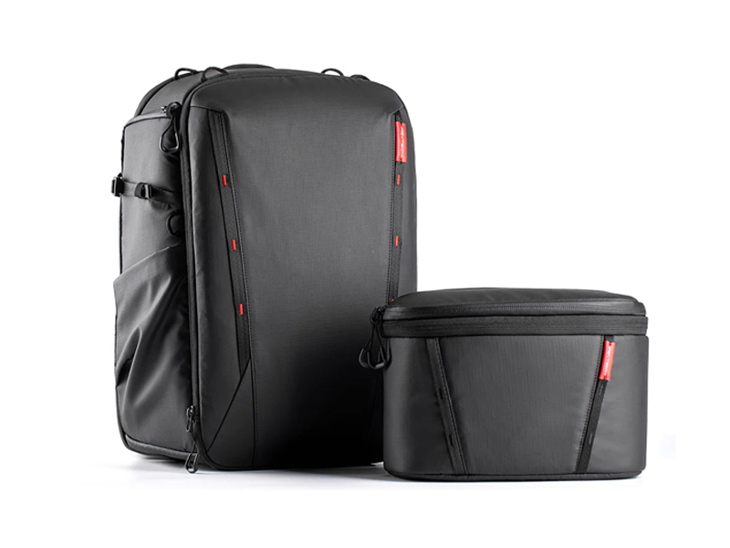 PGYTECH OneMo 2 Backpack 25L | Space Black
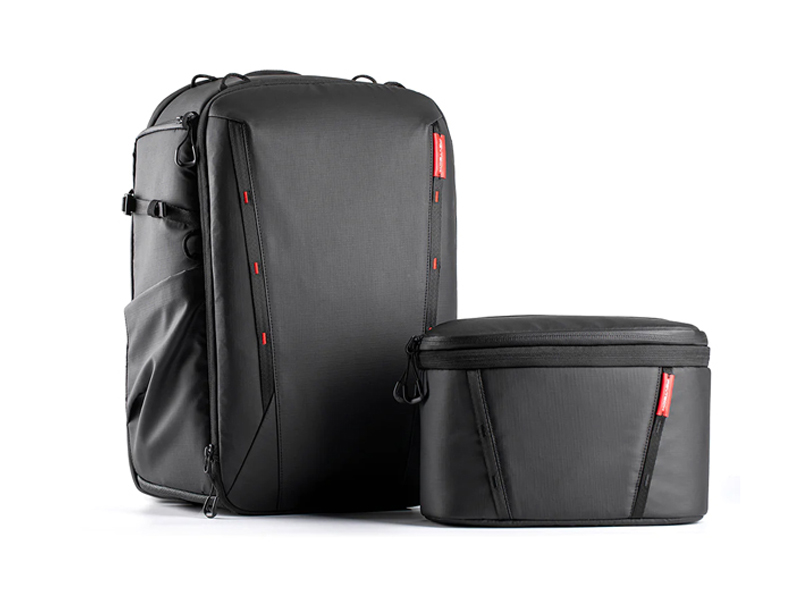 PGYTECH OneMo 2 Backpack 35L | Space Black
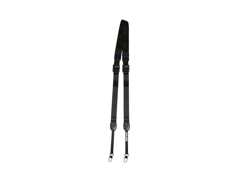 D1 Labs Dual Hook Controller Lanyard
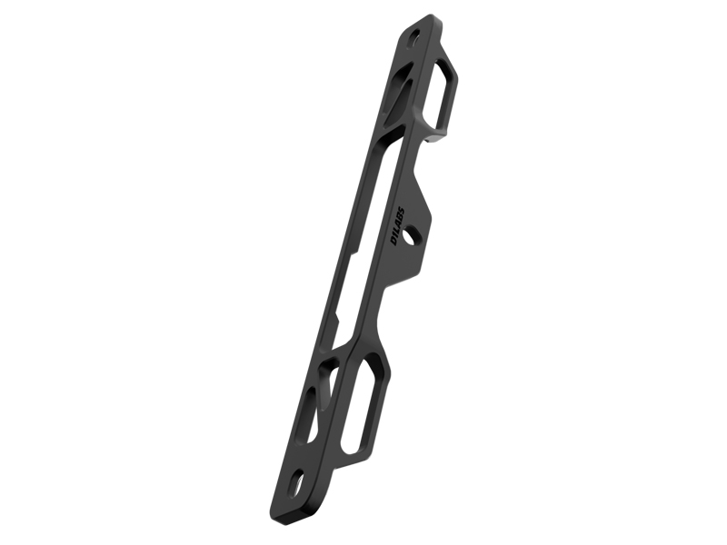 D1 Labs Lanyard Bracket for DJI RC Series
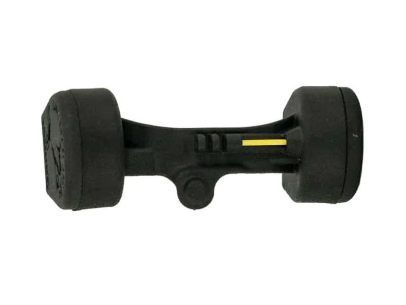 Gannet Electronic Payload Release System for Mavic 2
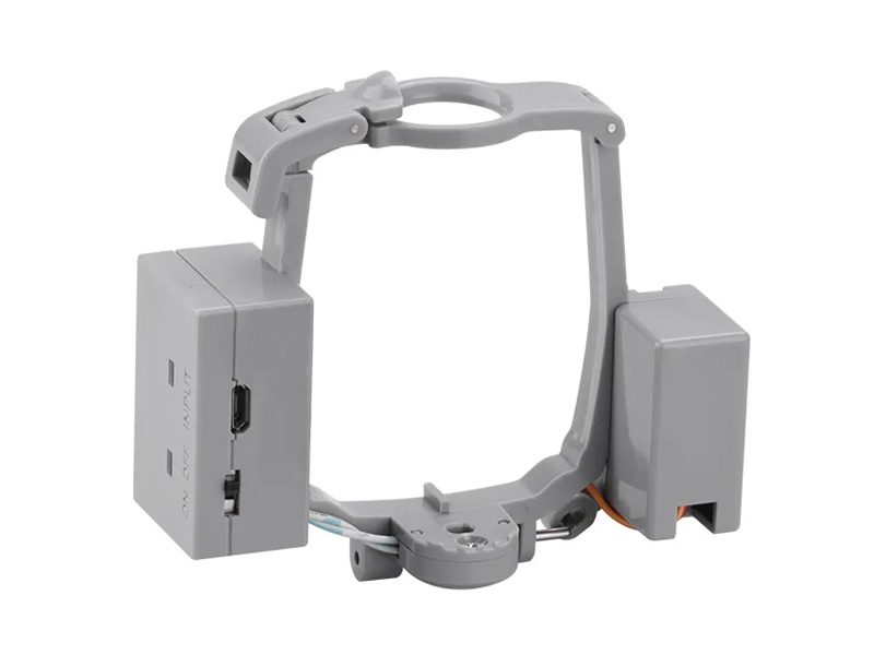 Payload Release System for DJI Air 2S / Mavic Air 2
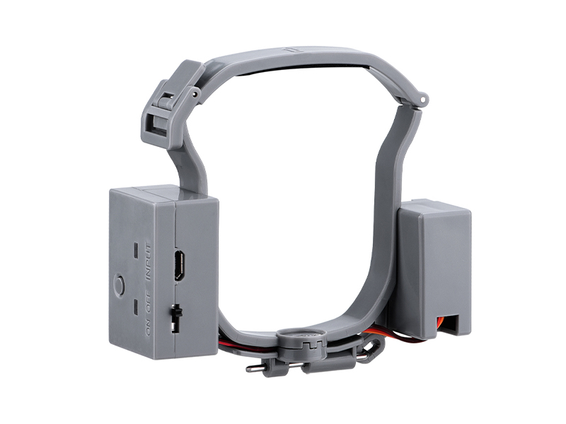 Payload Release System for DJI Air 3 Series
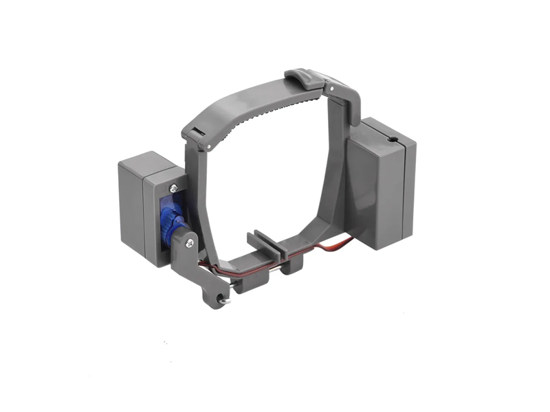 Payload Release System for DJI Mavic Pro
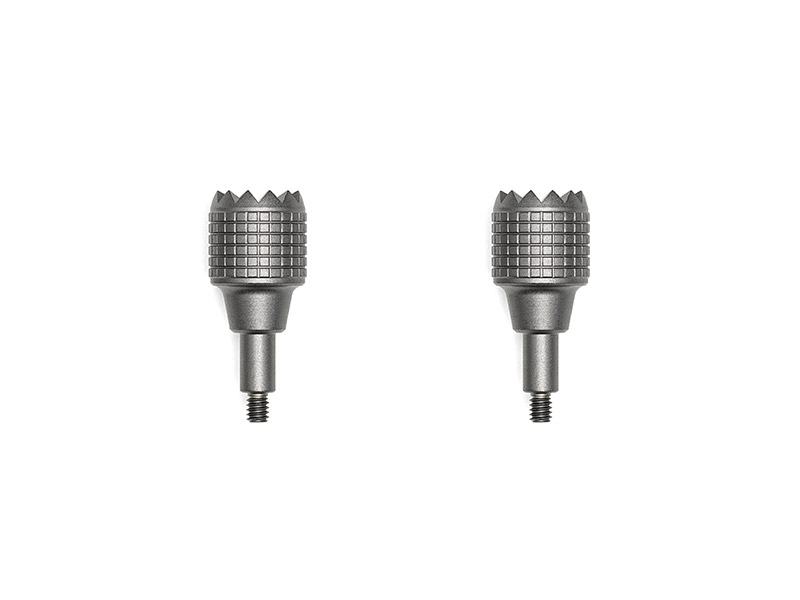 DJI RC Pro Control Sticks
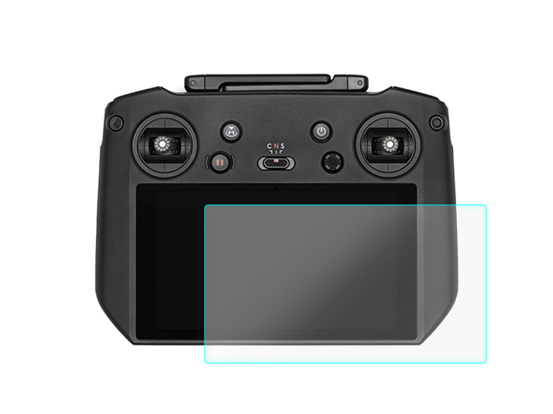 D1 Labs Screen Protector for DJI RC Pro
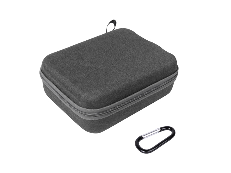 SunnyLife Carrying Case for DJI RC Pro
 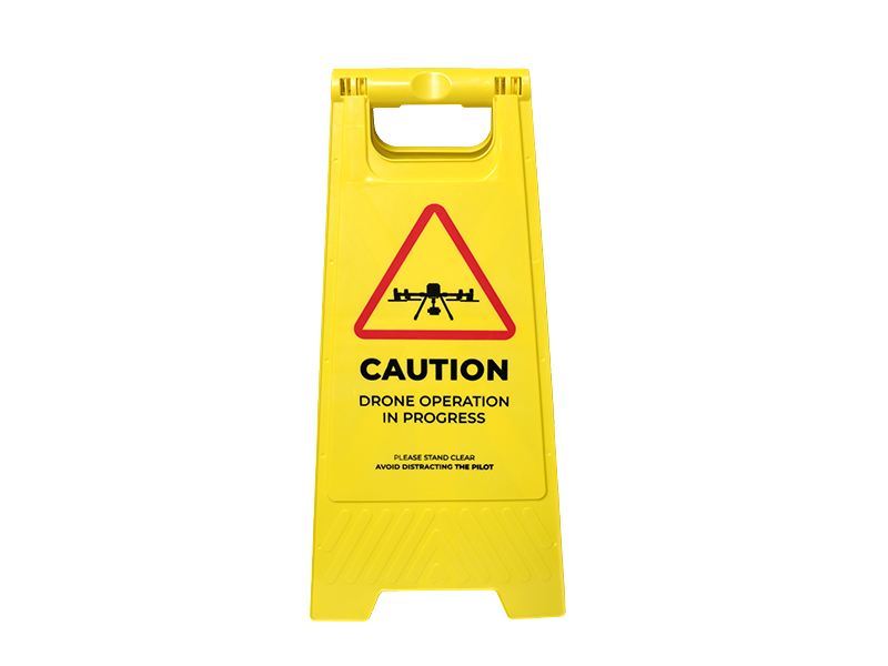 D1 Labs Drone Safety Sign
 Retractable Drone Safety Cone 450mm
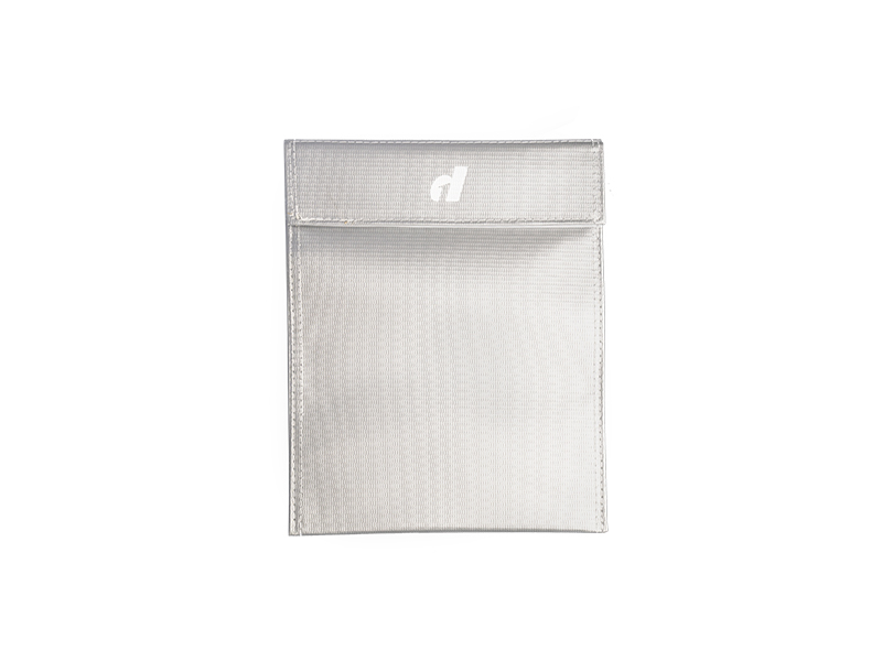 LiPO Battery Safe Bag (Large)
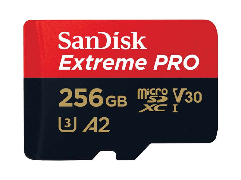 SanDisk Extreme Pro 256GB 200MB/s MicroSD Card
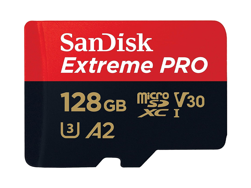 SanDisk Extreme Pro 128GB 200MB/s MicroSD Card
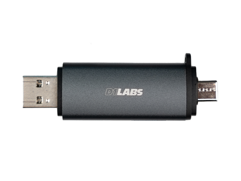 D1 Labs 2 in 1 SD Card Reader
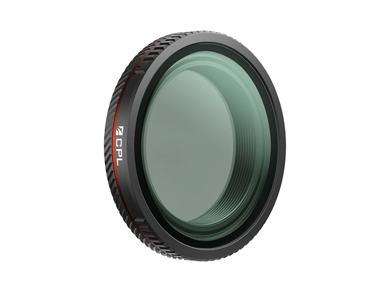 Freewell CPL Filter for Osmo Nano
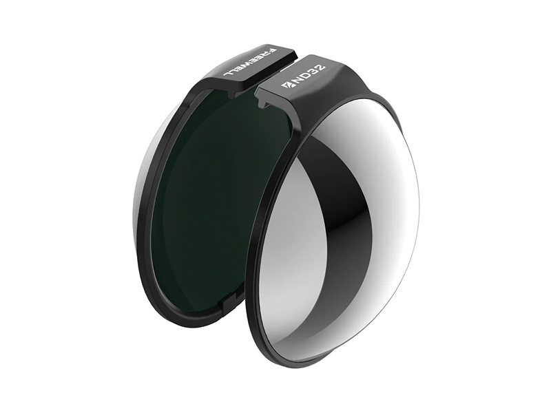 Freewell ND32 Filter for Osmo 360
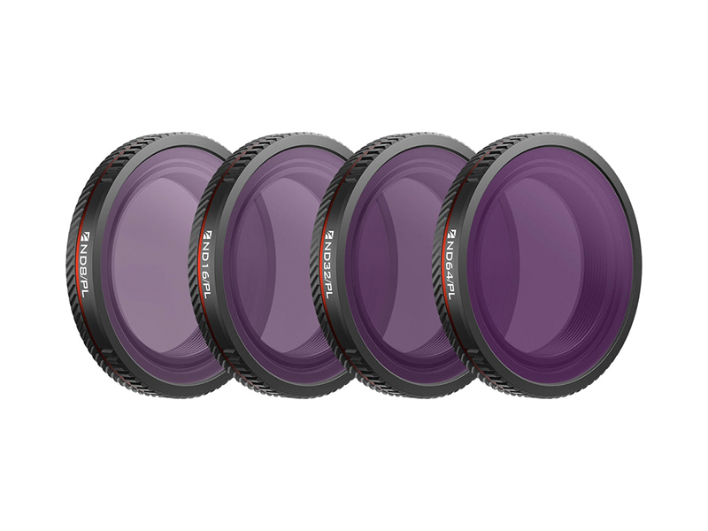 Freewell Bright Day Filters for Osmo Nano (4 Pack)
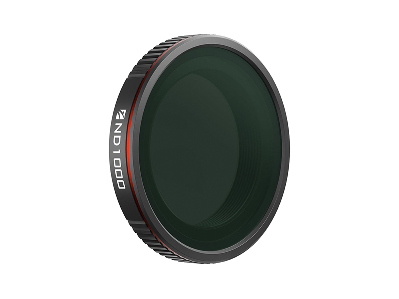 Freewell ND1000 Filter for Osmo Nano
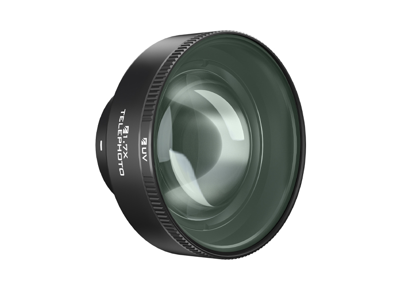 Freewell Sherpa Series 1.7x Telephoto Lens
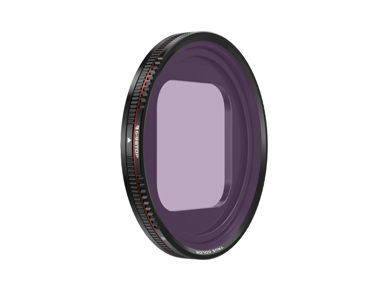 Freewell Sherpa Series 6-9 Stop VND Filter
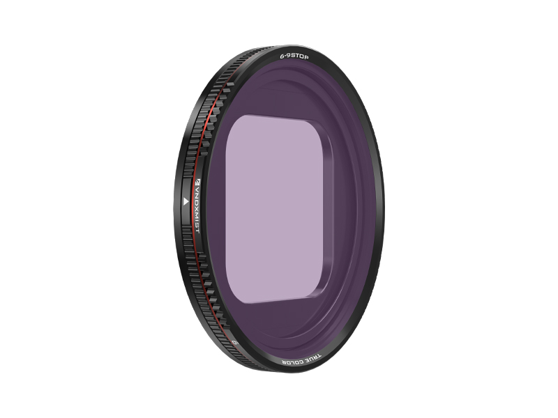 Freewell Sherpa Series 6-9 Stop VND Filter (Mist Edition)
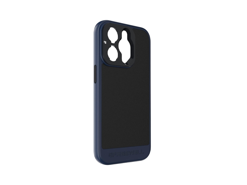 Freewell Sherpa Series Case for iPhone 13 Pro
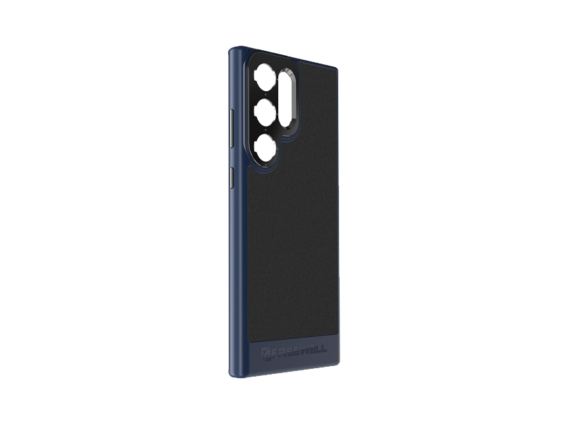 Freewell Galaxy Series Case for Samsung Galaxy S23 Ultra
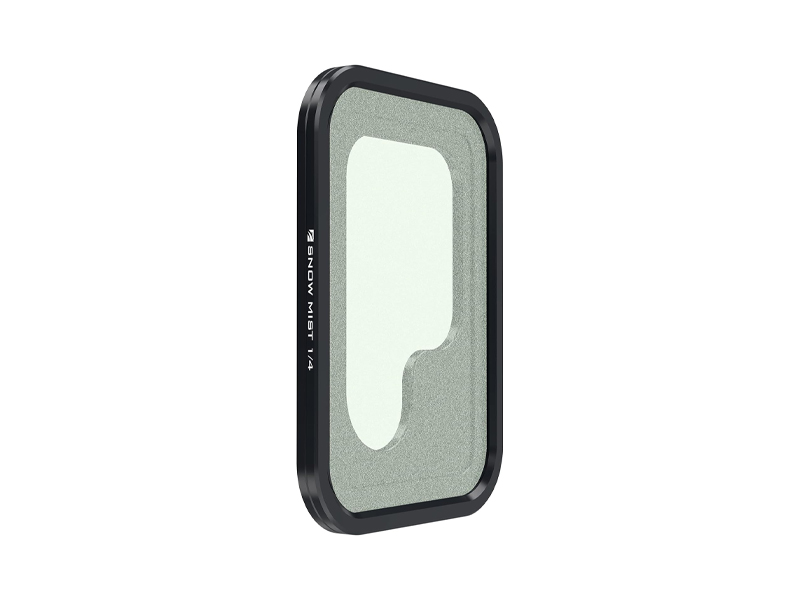 Freewell Galaxy Series Snow Mist 1/4 Filter
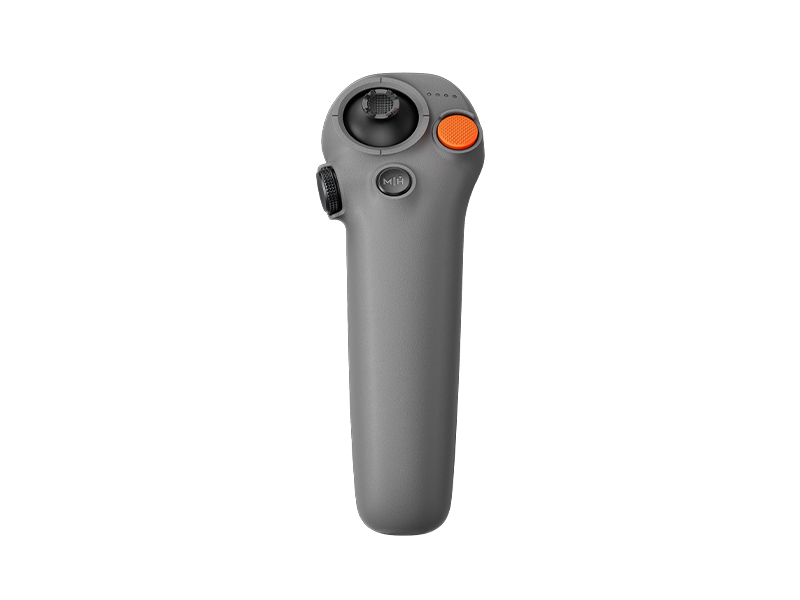 DJI RC Motion 3
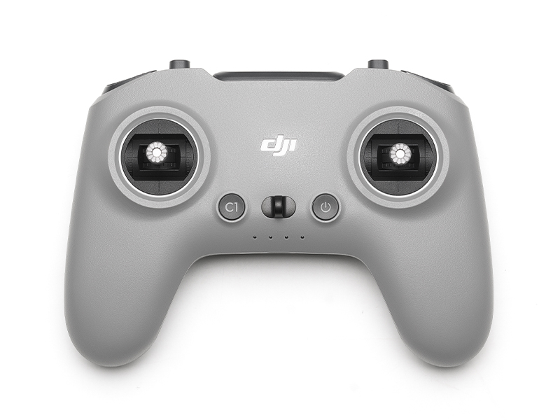 DJI FPV Remote Controller 3
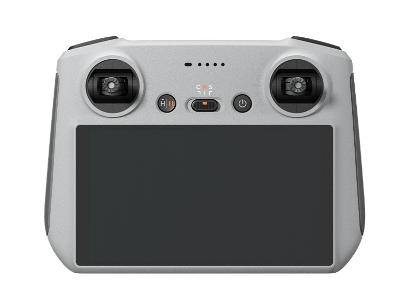 DJI RC
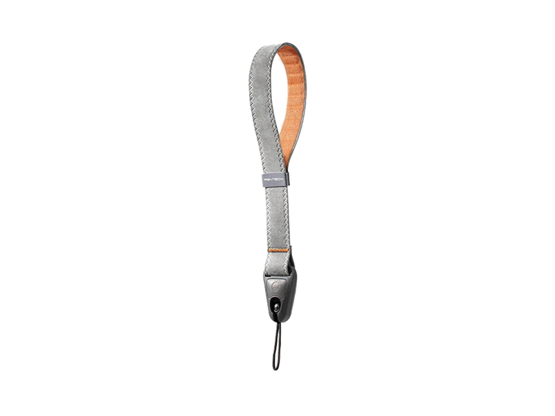 PGYTECH Camera Wrist Strap
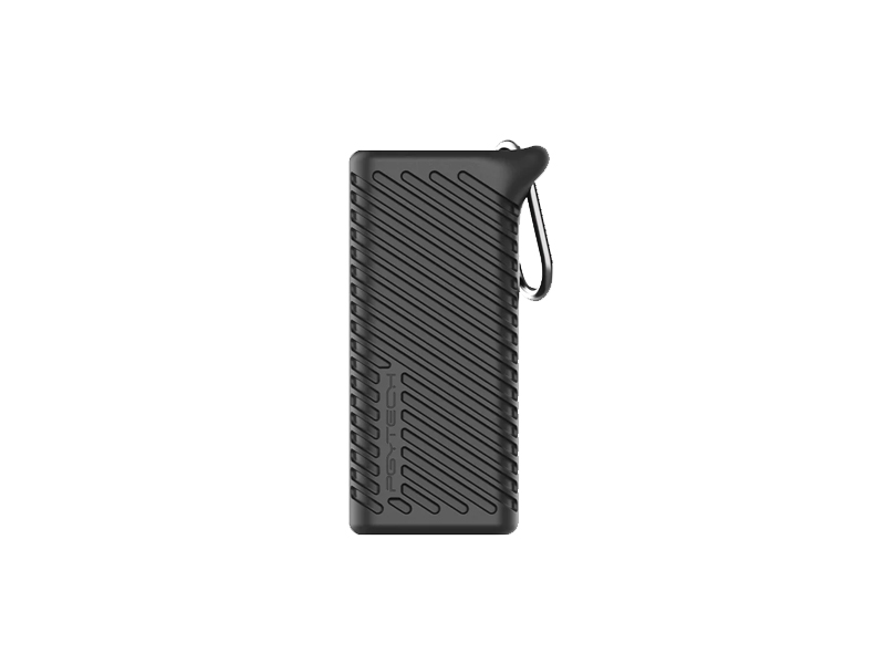 PGYTECH CreateMate High-Speed Card Reader Case
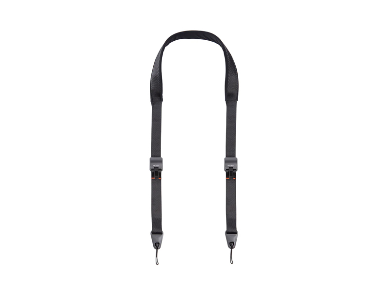 PGYTECH Camera Shoulder Strap
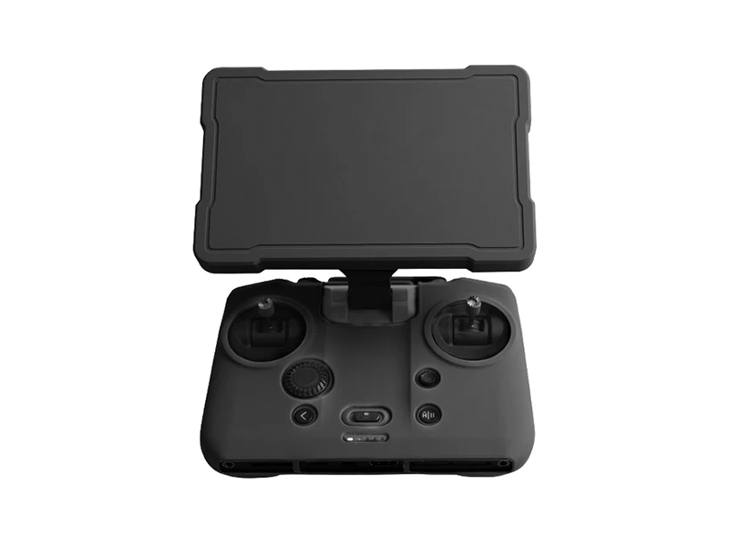 Cynova Protective Cover for DJI RC Pro 2
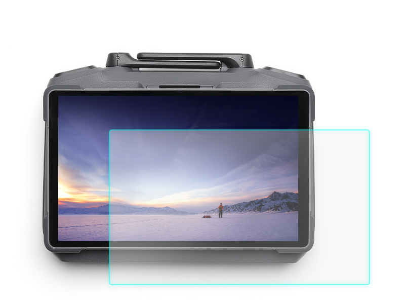 D1 Labs Screen Protector for DJI RC Pro 2
 DJI Care Refresh 1-Year Plan (DJI Mini 2 SE & DJI Mini 4K)
 DJI Care Refresh 1-Year Plan (DJI RS 3 Mini)
 DJI Care Refresh 2-Year Plan (DJI Mini 2 SE & DJI Mini 4K)
 DJI Care Enterprise Basic (Zenmuse V1)
 DJI Care Enterprise Basic (DJI Mavic 3 Multispectral)
 DJI Care Enterprise Basic (DJI Mavic 3 Thermal)
 DJI Care Enterprise Basic (Matrice 30T)
 DJI Care Enterprise Basic 2-Year Plan (Zenmuse H30)
 DJI Care Enterprise Basic 2-Year Plan (Matrice 350 RTK)
 DJI Care Enterprise Basic 2-Year Plan (DJI Mavic 3 Thermal Advanced)
 DJI Care Enterprise Basic 2-Year Plan (D-RTK 3 Multifunctional Station)
 DJI Care Enterprise Plus (D-RTK 3 Multifunctional Station)
 DJI Care Enterprise Plus (Zenmuse S1)
 DJI Care Enterprise Plus (Zenmuse V1)
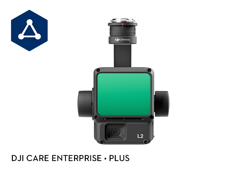 DJI Care Enterprise Plus (Zenmuse L2)
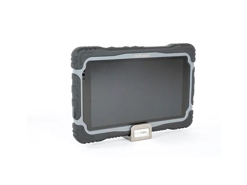 LifThor Midgard PRO
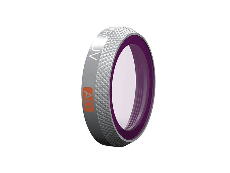 PGYTECH MCR-UV Filter for Mavic 2 Zoom
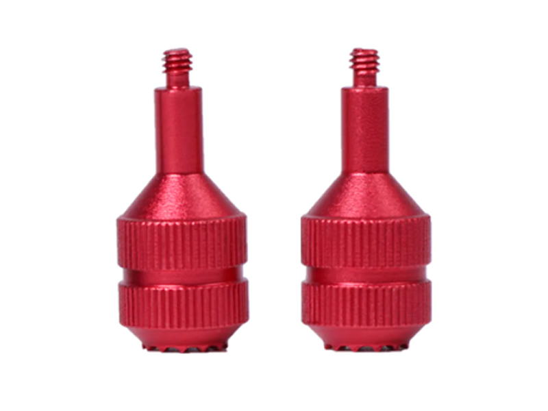 SunnyLife Control Sticks for DJI FPV Remote Controller 2
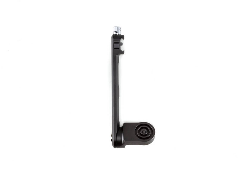 DJI R Briefcase Handle
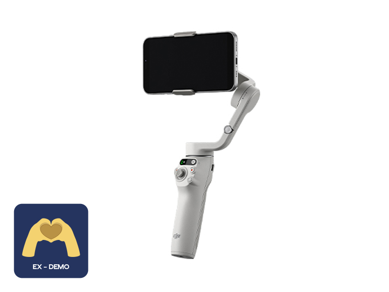 Ex-Demo Osmo Mobile 6 (Platinum Gray)
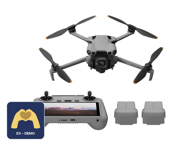 Ex-Demo DJI Mini 5 Pro Fly More Combo Plus (DJI RC 2)
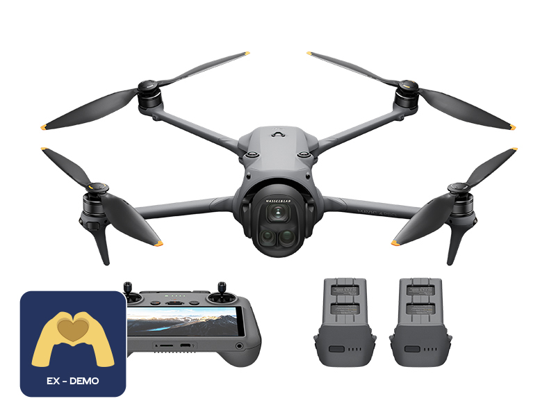 Ex-Demo DJI Mavic 4 Pro Fly More Combo
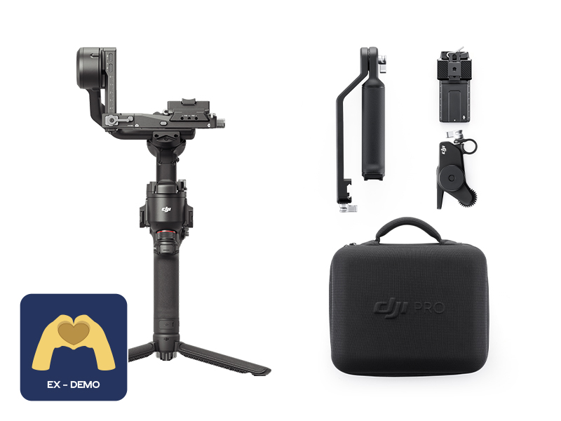 Ex-Demo DJI RS 4 Combo
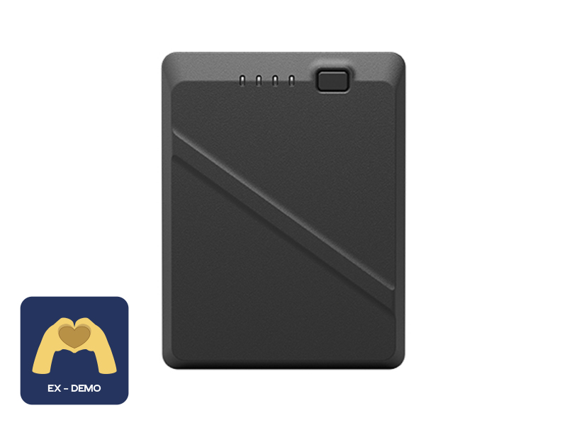 Ex-Demo DJI TB51 Intelligent Battery
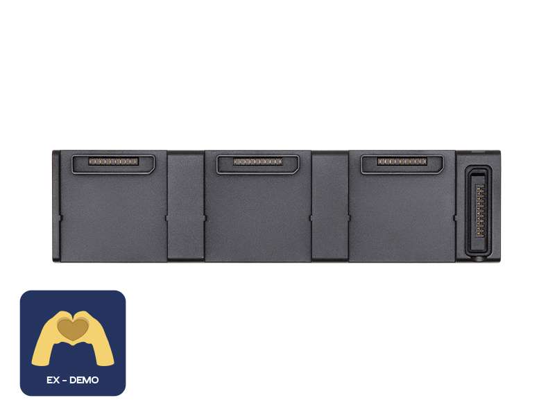 Ex-Demo DJI Air 2 Series Battery Charging Hub
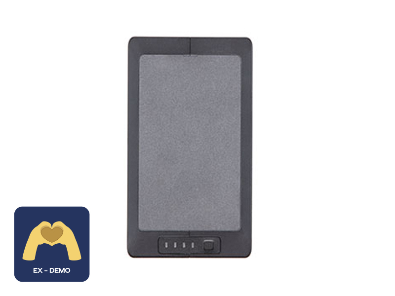 Ex-Demo TB60 Intelligent Flight Battery
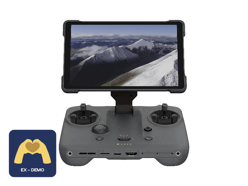 Ex-Demo DJI RC Pro 2
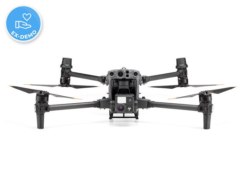 Ex-Demo Matrice 30T w. Battery Set
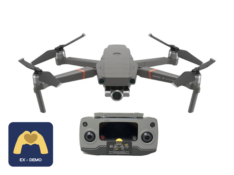 Ex-Demo Mavic 2 Enterprise Zoom
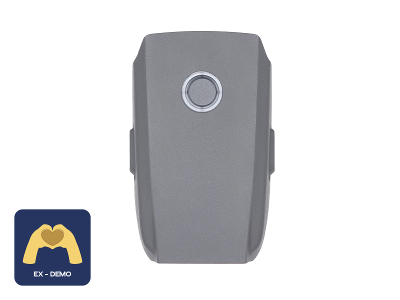 Ex-Demo Mavic 2 Intelligent Flight Battery
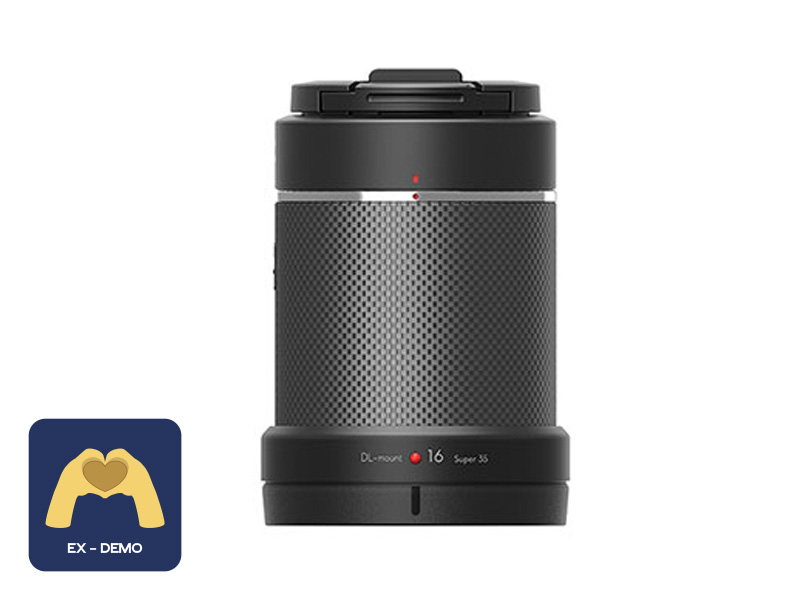 Ex-Demo DJI DL-S 16mm F2.8 ND ASPH Lens
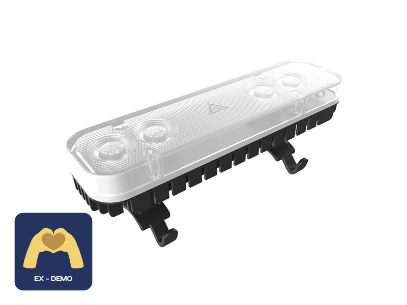 Ex-Demo ChengZhi FL48 Lighting System
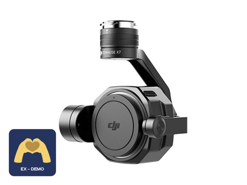 Ex-Demo Zenmuse X7
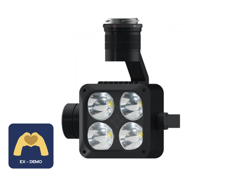 Ex-Demo Wingsland Z15 Gimbal Spotlight
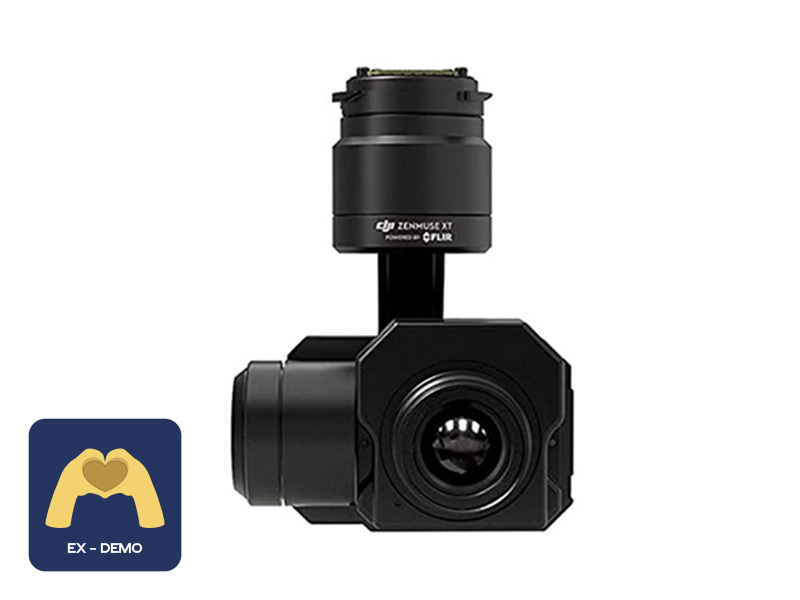 Ex-Demo FLIR Zenmuse XT 640 13mm 30Hz

