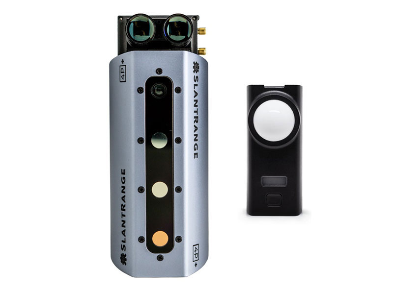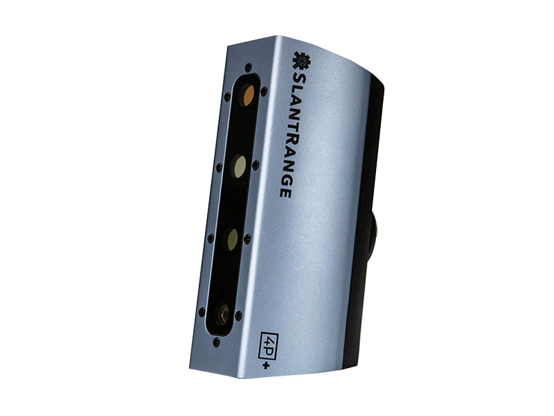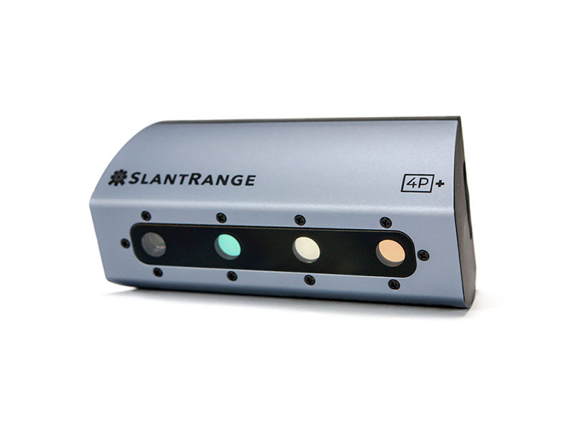


Designed for M200 & M300 Series
Key Features:Elevate your aerial data collection with higher resolution for efficiency. With 6 bands including RGB, Red, Red Edge, and NIR, patented radiometric calibration, and onboard processing, it's a pioneer in precision agriculture. Integrated with DJI SKYPORT and compatible with most drones, it offers 2.2 cm GSD @ 100m altitude for unparalleled accuracy.
▪ All Features or 4P but with 2 x Spatial Resolution
▪ Integrated Sunlight Calibration
▪ 6 Spectral Channels
1x SlantRange 4P+
1x GPC Hardshell Case
1x Power Cable
1x SD Card
Spatial Resolution (GSD @ 100 m AGL): 2.2cm
Spectral Channels: 6
Available Spectral Range: 410-950 nm
Output Formats: KML, SHP, GeoTIFF
Weight: 350g
Power: 14 W @ 9 - 28 VDC
